








An Inconvenient History
To understand Bengaluru’s chronic waterlogging is to read a history of the city itself. For centuries, Bengaluru was not a flood-prone city; it was a city of lakes. Long before it became the Silicon Valley of India, it was a marvel of environmental engineering.
Founded on an undulating terrain far from any major river, its rulers, from Kempegowda I in the 16th century, created a sophisticated, cascading system of man-made lakes, or tanks. These weren't just decorative water bodies; they were a vital network for rainwater harvesting, irrigation, and flood control. The lakes were interconnected by a network of natural stormwater drains known as 'rajakaluves'. During heavy rains, excess water from a lake at a higher elevation would simply flow through these channels to a lake at a lower elevation, preventing any one area from being overwhelmed. This system ensured that water was conserved, groundwater was recharged, and flooding was naturally managed.
Paving Over the Past
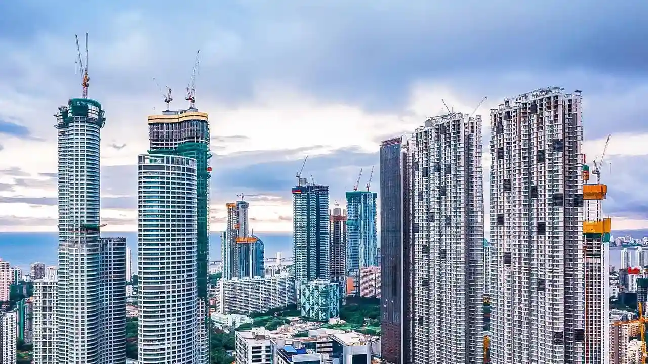
The story of modern Bengaluru is one of rapid, often unchecked, urbanisation that has systematically dismantled this elegant, nature-based design. Studies have shown a staggering transformation of the city's landscape. Research from the Indian Institute of Science (IISc) noted that between 1973 and 2017, Bengaluru saw a 1028% increase in paved, impervious surfaces. In that same period, the city lost 88% of its vegetation and 79% of its water bodies. What were once lakes, wetlands, and open soils that could absorb rainwater have been replaced with concrete and asphalt. The rajakaluves, the city's critical arteries for water, have been narrowed, blocked with waste, or simply built over to make way for apartment complexes, tech parks, and roads. According to government data, the city that may have had up to 1,452 water bodies historically, and 262 as recently as 1961, now has fewer than 100, many of which are heavily polluted.
The Science of a Man-Made Flood
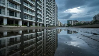
The result is a predictable, recurring disaster. When heavy rains arrive, the water behaves as it must on a hardened landscape: it runs. With no soft ground to seep into and with its natural pathways blocked, the rainwater flows rapidly over concrete surfaces, overwhelming the now-inadequate drainage systems. This turns roads into rivers and low-lying areas into lakes, precisely in the places where lakes and floodplains once existed. Many of Bengaluru’s most flood-prone areas, including parts of the Outer Ring Road and the Bellandur region, were developed directly on former wetlands and lakebeds. The consequence is a dual crisis that many residents find absurd: severe flooding during the monsoon followed by acute water scarcity and depleted groundwater levels in the dry months. The city is unable to hold onto the very water that inundates it.
Living with the Consequences
For the citizens of Bengaluru, this historical failure has severe present-day consequences. The April 2026 pre-monsoon showers, which set a new rainfall record for the month, resulted in widespread chaos, with waist-deep water in areas like Richmond Town and Shanthinagar. Traffic came to a standstill, property was damaged, and in a tragic incident at Bowring Hospital, a collapsing wall claimed seven lives. These events are not shocking outliers but part of a familiar pattern. Studies have identified hundreds of locations across the city that are vulnerable to flash floods. Encroachment on the rajakaluves is so severe that civic authorities like the Bruhat Bengaluru Mahanagara Palike (BBMP) have established buffer zones where construction is prohibited, though enforcement remains a constant battle. This ongoing struggle highlights that Bengaluru's floods are not a natural disaster but the cumulative result of decades of planning decisions that ignored the city's natural topography and hydrology.