




More Than Just Rainwater
A typical flood is easy to picture: heavy rainfall causes a river to swell and overtop its banks, inundating the surrounding floodplain. This is a common occurrence in the low-lying Terai plains of Nepal and affects downstream communities in India. However,
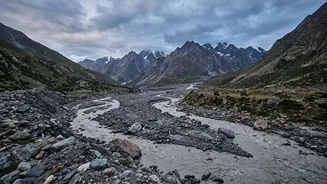
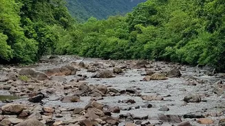
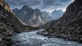
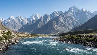
in the high mountains, floods behave differently. The sheer force of water in steep, narrow gorges is immense. But the water itself is only one part of the equation. The real danger multiplier is the enormous amount of loose material—boulders, soil, uprooted trees, and sediment—that the floodwaters pick up. This transforms a simple flood into a thick, fast-moving slurry known as a debris flow. This mixture is far heavier and more destructive than water alone, capable of scouring landscapes and obliterating everything in its path.
The Anatomy of a Landslide Dam
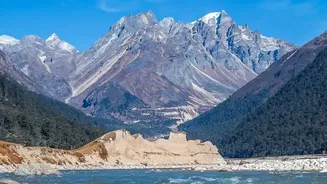
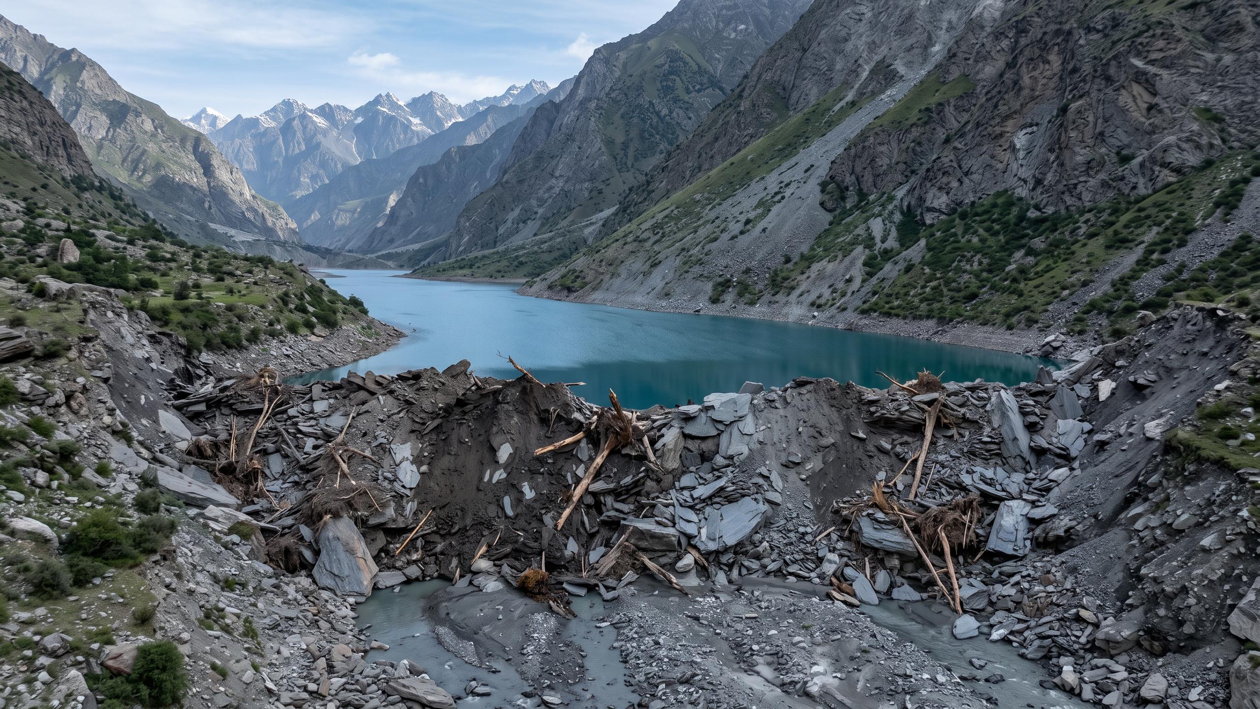
The most dangerous scenario begins when a landslide, often triggered by intense rain or an earthquake, cascades into a narrow river valley. Nepal's young, geologically active mountains are exceptionally prone to such events. When a massive volume of rock and soil suddenly blocks a river, it forms a 'landslide dam'. Water begins to build up behind this unstable, natural barrier, creating a temporary lake. These dams are inherently weak. Unlike engineered concrete dams, they are just loose piles of earth and rock with no structural integrity. As the lake behind the dam grows, the immense pressure of the water begins to erode the blockage from within, searching for a weak point to exploit.
The Outburst Flood: A Catastrophic Release
The failure of a landslide dam is catastrophic. When the dam is finally breached—either by overtopping, where water flows over the top and rapidly erodes it, or by complete structural collapse—it releases the entire volume of the impounded lake in a single, devastating wave. This is known as a landslide dam outburst flood (LDOF). The 2021 Melamchi flood was a tragic example of this cascading hazard. Intense monsoon rain triggered landslides upstream, which temporarily dammed the river. When the dam burst, it unleashed a torrent of water and debris that swept through downstream towns, causing immense destruction and loss of life. This second wave was far more powerful than the initial rain-fed flooding, carrying with it the energy of an entire lake being unleashed at once.
A 'Perfect Storm' of Factors
Several factors converge to make this threat particularly acute in the Himalayas. First is the region's fragile geology and steep topography, which provide ample loose material for landslides. Second, climate change is intensifying monsoon rainfall and accelerating snow and glacier melt, increasing the volume of water in rivers and destabilizing slopes. Research following the Melamchi disaster confirmed that a combination of heavy rain and excessive snowmelt created the conditions for the event. Finally, rapid and often unregulated infrastructure development, such as the construction of roads and hydropower plants, can further destabilize fragile hillsides, increasing the frequency and severity of landslides.
The Challenge of Early Warnings
Preventing these events is nearly impossible, so the focus is on mitigation and early warning. However, predicting a landslide dam failure is incredibly difficult. Unlike river-level monitoring, which can provide several hours or days of warning for a normal flood, a dam breach can happen with terrifying speed. Existing warning systems in Nepal are often described as fragmented and are primarily focused on major rivers, leaving communities along smaller tributaries vulnerable. Experts emphasize the need for satellite imagery and remote sensing to monitor upstream areas for landslide activity and the formation of these dangerous lakes. For communities downstream, including those across the border in India, understanding this secondary threat is crucial for effective preparedness and evacuation, as the most dangerous wave may arrive long after the rain has stopped.