


A Deluge Without Warning
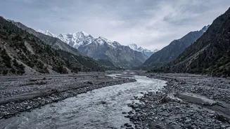
On June 15, 2021, a terrifying wall of water, mud, and debris surged down the Melamchi and Indrawati rivers. The flood devastated Melamchi Bazaar, a bustling town, and inflicted heavy damage on crucial infrastructure, including the headworks of the Melamchi Water
Supply Project. The human cost was severe, with five people confirmed dead and 20 reported missing. What puzzled authorities and scientists was the lack of a clear trigger. While the monsoon had begun, there was no record of extreme, localised rainfall in the immediate area that could explain the sheer volume and force of the deluge, leading to a complex investigation into its origins high in the Himalayas.
The Mystery of the Mountain
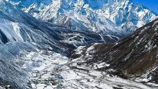
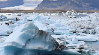
Initial theories pointed towards a glacial lake outburst flood (GLOF), a common hazard in the region. However, the true cause was far more complex. The event was not a single occurrence but a cascading disaster, a chain reaction of geological and climatic events. According to detailed analysis by the International Centre for Integrated Mountain Development (ICIMOD) and other researchers, the disaster began with intense precipitation in the high-altitude upstream areas of the watershed. This initial rainfall triggered a sequence of events that unfolded far from the communities it would eventually devastate. The lack of eyewitnesses or ground-level monitoring in the remote, rugged terrain meant that scientists had to turn to a different kind of forensic tool.
Eyes in the Sky Provide Answers
This is where satellite technology became the key detective. By comparing high-resolution satellite images taken before and after the flood, scientists could meticulously map the changes in the landscape. Images from satellites like Planet Labs and Sentinel-1 allowed researchers to peer into the inaccessible headwaters of the Melamchi river. These 'before-and-after' comparisons revealed startling changes that were invisible from the ground. Traditional flood monitoring often relies on river gauges, which are limited in remote areas. Satellites, however, provided a complete picture of how the landscape was violently transformed.
Piecing Together the Evidence
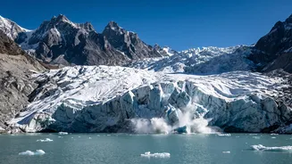
The satellite data revealed a multi-step catastrophe. Analysis showed that heavy rainfall combined with snowmelt had destabilised the terrain high in the valley. This led to the collapse of a large moraine—a natural dam of rock and sediment left by a glacier—at the head of the Pemdang Khola, a tributary of the Melamchi. The satellite images clearly showed a breach around 40-50 metres wide in the moraine dam. This initial burst of water and debris then flowed downstream, where it hit a massive, old landslide deposit at a site called Bremthang. The force of the flow remobilised this vast quantity of loose sediment, creating the thick, destructive debris flow that ultimately inundated Melamchi Bazaar. Some analyses even suggest a new landslide was triggered by the force of the river, further compounding the disaster.
A Blueprint for Future Preparedness
The successful use of satellite imagery in deciphering the Melamchi disaster provides a crucial blueprint for the future of disaster management in the Himalayas. As climate change intensifies monsoons and accelerates glacial melt, such cascading events are expected to become more common across the Hindu Kush Himalaya region. This 'disaster forensics' approach, combining satellite data with digital elevation models, allows for a more holistic understanding of risks. For India, which shares the same fragile Himalayan ecosystem, these lessons are profoundly important. By investing in satellite-based real-time monitoring of glacial catchments, authorities can develop more effective early warning systems, moving from a reactive to a proactive stance against natural hazards.