




A Redemption Mission Five Years in the Making
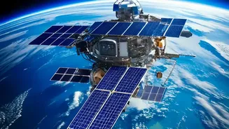
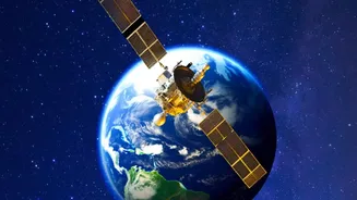
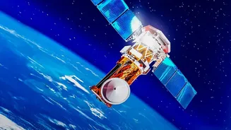
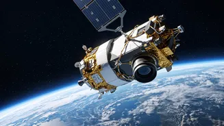
The upcoming GISAT-1A mission, also designated EOS-05, is one of the most anticipated launches for the Indian Space Research Organisation (ISRO) in years. Scheduled to lift off on September 4, 2026, it represents a second chance. This mission carries
the weight of history, as it is a replacement for the GISAT-1 satellite (EOS-03), which was tragically lost in a launch failure on August 12, 2021. In that attempt, the GSLV rocket's cryogenic upper stage failed to ignite due to a technical anomaly, preventing the satellite from reaching its orbit. After years of analysis and preparation, this new launch is not just about placing a satellite in space; it is about proving the reliability of the GSLV rocket and fulfilling a long-held strategic goal.
The Geostationary Advantage: A Fixed Gaze
So, what makes this satellite so special? The answer lies in its orbit. Most Earth observation satellites circle the planet in a Low Earth Orbit (LEO), typically a few hundred kilometres up. They move quickly, capturing high-resolution images of a location for only a few minutes before they pass over. In contrast, GISAT-1A is designed for a geostationary orbit, approximately 36,000 kilometres above the equator. At this altitude, the satellite's orbital period matches the Earth's rotation, making it appear stationary over a single point. This gives it a constant, unwavering view of a vast area—the entire Indian subcontinent. Instead of brief glimpses, GISAT-1A will function like a celestial security camera, providing a persistent watch.
What 'Faster Imagery' Actually Means
The term 'faster imagery' refers to this ability to provide near-real-time updates. While a LEO satellite might pass over a flood-affected region once or twice a day, GISAT-1A will be able to image the entire country every 30 minutes. For high-priority areas of interest, such as a developing cyclonic storm or a border hotspot, it can retarget its sensors and deliver fresh images as frequently as every five minutes. This radically shortens the time between observation and action. For disaster management teams, it means tracking a flood's path in near real-time. For security forces, it means having up-to-date intelligence on developing situations. This high-frequency monitoring is a game-changer that periodic satellite passes simply cannot match.
Impact on National Security and Disaster Management
The strategic applications of such a capability are immense. For national security, a geostationary imaging satellite offers an unprecedented advantage in monitoring borders and the wider Indian Ocean Region. It allows for the continuous observation of adversary movements and infrastructure changes without the predictable timing of LEO satellite flyovers. On the civilian front, its impact on disaster management could save countless lives. During events like cyclones, forest fires, or glacial lake outbursts, having a constant eye in the sky enables authorities to issue more accurate and timely warnings, monitor the event's progression, and coordinate rescue and relief efforts with far greater efficiency. This rapid monitoring can transform a reactive response into a proactive one.
Beyond Emergencies: A Tool for Development
While security and disaster relief are the headline applications, GISAT-1A’s capabilities extend to numerous other sectors vital for India's development. The satellite's multi-spectral and hyper-spectral cameras can provide invaluable data for agriculture, helping to monitor crop health, assess drought conditions, and manage water resources. It can also be used for urban planning, monitoring deforestation, tracking the progress of large-scale infrastructure projects, and studying environmental changes over time. By providing a steady stream of data on the country's land, water, and forests, the satellite will become a crucial tool for policymakers and scientists alike, supporting sustainable development for years to come.