


The Challenge of a Data-Rich World
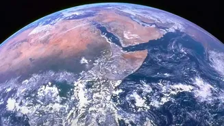
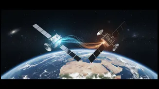
Earth-observing satellites are our eyes in the sky, constantly collecting petabytes of information about our atmosphere, oceans, and land. This data is crucial for understanding climate change, but its sheer volume presents a massive challenge. For scientists,
manually sifting through this digital mountain to find meaningful patterns is like searching for a needle in a global-sized haystack. Traditional methods are slow and can struggle to connect the dots between different, complex datasets. This information overload has created a gap between the data we have and our ability to turn it into actionable insights for everything from disaster response to agricultural planning.
Introducing Prithvi: An AI for Planet Earth
To tackle this problem, NASA has collaborated with partners like IBM to develop a new generation of AI known as 'foundation models'. One of the most significant is a family of models named Prithvi, the Sanskrit word for Earth. Think of Prithvi as a base intelligence that has been extensively trained on decades of NASA's archival satellite data. Unlike specialized AI that performs a single task, a foundation model learns the fundamental patterns of our planet. It can then be quickly adapted, or 'fine-tuned', for a wide variety of specific environmental monitoring tasks without having to be built from scratch each time.
How an AI Learns to 'See' the Planet
The Prithvi models are built on a sophisticated architecture that allows them to process vast amounts of geospatial data unfolding over time. They are trained on harmonised data from multiple satellite sources, which gives them a multi-layered view of the Earth. By analysing decades of historical imagery and atmospheric data, the AI learns to recognise the visual and physical signatures of various phenomena. It can identify the unique characteristics of a flood plain, the subtle changes in vegetation that signal a drought, the burn scar left by a wildfire, or the complex dynamics of a hurricane. Because these models are open-source, they are available to the global scientific community, promoting wider collaboration and innovation.
From Predicting Floods to Aiding Farmers
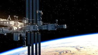
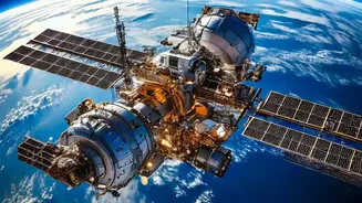
The practical applications of this technology are vast and could have a significant impact on lives and livelihoods. By fine-tuning the Prithvi model, researchers can create highly accurate, localised tools. For example, the models can be used to generate near-real-time maps during a flood, showing the extent of the water and helping emergency responders. They can improve forecasts for severe weather events, giving communities more time to prepare. In agriculture, the AI can monitor crop health and soil moisture, providing valuable insights for water management and food security. The technology is even being deployed on satellites and the International Space Station, allowing for data analysis to happen in orbit before the information even reaches the ground.
A New Era for Climate Science
These AI models are more than just faster analytical tools; they represent a fundamental shift in how we approach Earth science. Data-driven AI models are proving to be faster and, in some cases, more accurate than traditional physics-based simulations that require immense supercomputing power. An AI model can often be run on a single desktop computer in seconds, drastically reducing the cost and time needed for complex climate simulations. This allows scientists to run more scenarios, test more hypotheses, and gain a deeper understanding of our planet's interconnected systems, from the water cycle to urban heat islands. As NASA director Karen St. Germain notes, the goal is to deliver actionable science that helps communities prepare, respond, and mitigate the effects of a rapidly changing climate.