





A Groundbreaking Partnership in Orbit
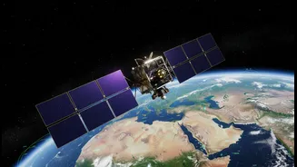
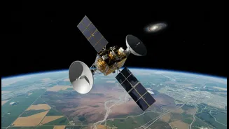
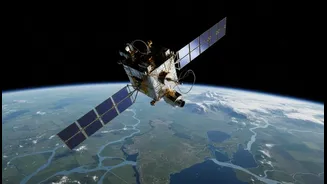
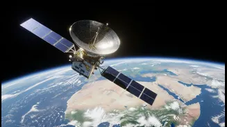
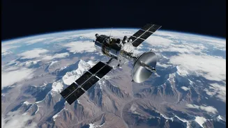
NISAR represents a monumental partnership between the Indian Space Research Organisation (ISRO) and the U.S. National Aeronautics and Space Administration (NASA). This sophisticated Earth observation satellite is the first of its kind, born from a shared
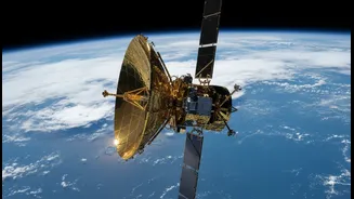
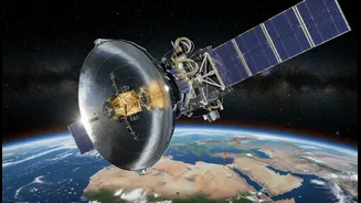
vision to measure our planet's changing surfaces with unparalleled accuracy. ISRO provided the spacecraft itself, the S-band radar system, and the powerful GSLV launch vehicle. NASA contributed the L-band radar, a massive 12-meter deployable reflector antenna, and high-capacity data recording systems. Together, they have created one of the most expensive Earth-imaging satellites ever built, a testament to international scientific collaboration. The mission aims to systematically map the globe, collecting data that will be made freely available to the public, transforming our ability to respond to global challenges.
The Magic of Dual-Band Radar
What makes NISAR a game-changer is its dual-frequency Synthetic Aperture Radar (SAR). Unlike previous satellites that used a single radar band, NISAR carries both an L-band and an S-band radar. This technology is a significant leap because radar can penetrate clouds and operate day or night, ensuring continuous and reliable data collection. The two different radar frequencies have distinct strengths. The longer wavelength L-band, provided by NASA, can see through dense forests and vegetation to measure changes on the ground beneath. The shorter wavelength S-band, developed by ISRO, is excellent for capturing high-resolution details of the surface, such as soil moisture and urban infrastructure. By combining the data from both, scientists get a complete picture, a feat that bridges the old gap where they had to choose between depth and detail.
An Unblinking Eye on Our Planet
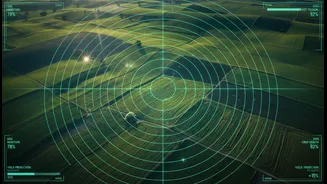
NISAR will orbit Earth every 12 days, systematically scanning nearly all land and ice surfaces. Its primary goal is to detect and measure some of the planet's most complex processes, tracking movements as small as a centimetre. These observations will create a time-lapse view of Earth, revealing subtle shifts related to natural hazards like earthquakes, volcanoes, and landslides. The data will help scientists monitor the flow of glaciers and the melting of ice sheets, which is crucial for understanding sea-level rise. It will also track changes in ecosystems, such as deforestation, the growth of crops, and the extent of wetlands. This high-resolution, continuous monitoring provides a dynamic map of our world, offering insights into everything from groundwater depletion to the carbon stored in our forests.
Why This Matters for India
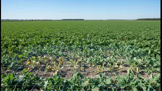
For India, a nation that frequently faces natural disasters like floods, cyclones, and earthquakes, NISAR's capabilities are especially vital. The satellite will provide unprecedented information for disaster management, from early warnings to rapid damage assessment after an event. A key area of interest is the Himalayan region, where NISAR will monitor glacier retreat and seismic activity in the tectonically active plate boundary. In agriculture, the satellite's ability to measure soil moisture at a high resolution will be transformative, aiding in crop yield predictions, drought management, and efficient irrigation planning. This data can support national initiatives like the Pradhan Mantri Fasal Bima Yojana and help create more resilient agricultural practices across India's diverse agro-climatic zones.
A New Era of Earth Science
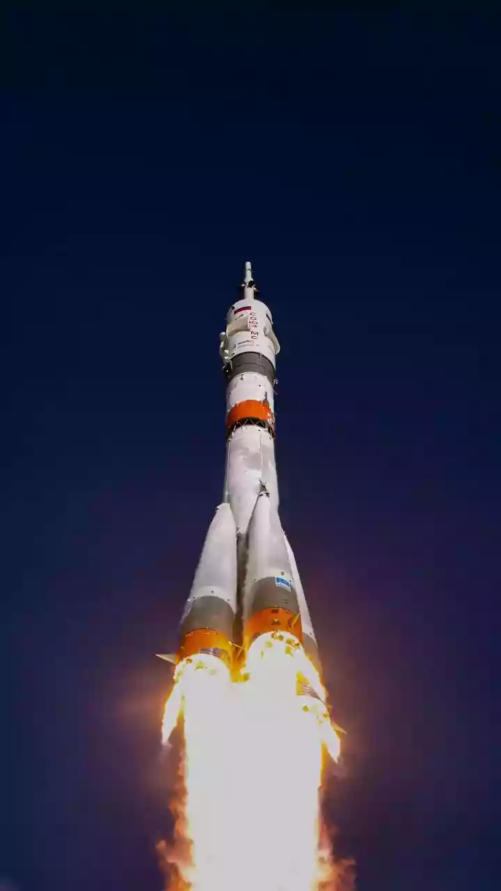
Following its launch, NISAR entered a 90-day commissioning phase to deploy its massive radar boom and reflector and to calibrate its instruments. Now in its operational phase, the mission is set to generate a massive amount of data—estimated to be around 85 terabytes per year—which will be accessible through portals managed by both NASA and ISRO. This open-data policy will empower scientists, policymakers, and even startups to develop new applications and solutions for some of our most pressing environmental challenges. NISAR is more than just a satellite; it’s a powerful tool for understanding our changing planet and a symbol of how international cooperation can drive scientific progress and benefit all of humanity.