

An Unblinking Eye in the Sky
For a country with diverse and often extreme geo-climatic conditions, India is particularly vulnerable to natural calamities. Each year, monsoon rains bring life-giving water, but also devastating floods that submerge vast areas, while fragile Himalayan
slopes are prone to catastrophic landslides. Traditionally, disaster response was a ground-up effort, often hampered by the very conditions it sought to address. Today, space agencies like the Indian Space Research Organisation (ISRO) are changing the game. By providing near real-time satellite data, they offer a synoptic view that is transforming disaster management from a reactive scramble to a proactive science. This orbital perspective allows authorities to see the bigger picture, understand the scale of a disaster, and deploy resources more effectively than ever before.
The Power of Seeing Through Clouds
One of the most significant breakthroughs in this field is the use of Synthetic Aperture Radar (SAR). Unlike optical satellites that work like a camera and are useless in cloudy weather or at night, SAR is an active system. It sends microwave pulses to the Earth's surface and measures the reflected signals to create an image. This technology is a game-changer for monitoring floods, which often occur during heavy cloud cover in the monsoon season. Calm water acts like a mirror, reflecting the radar signal away from the satellite, making it appear very dark in SAR imagery. By comparing images taken before and during a flood, analysts can quickly and accurately map the extent of inundation, even through dense clouds. This all-weather, day-and-night capability is crucial for providing timely alerts and assessing damage.
From Data to Life-Saving Decisions
Raw satellite data is just the beginning. The crucial next step is turning complex imagery into actionable intelligence. This is where organisations like ISRO's National Remote Sensing Centre (NRSC) play a vital role. The NRSC processes vast amounts of data to create products like flood inundation maps and landslide hazard zonation atlases. These tools are disseminated through portals like Bhuvan and the National Database for Emergency Management (NDEM), providing disaster managers with a clear operational picture. For example, ISRO has developed projects like the Satellite Integrated Landslide Assessment and Alert System (SILAAS) to provide village-level alerts in vulnerable regions like Jammu & Kashmir and Ladakh. These systems help authorities to not only respond to events but also to plan for them by identifying high-risk areas.
Global Collaboration for a Safer Future
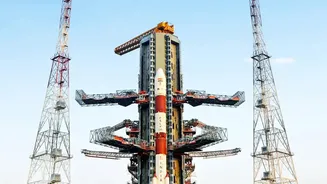
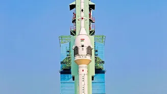
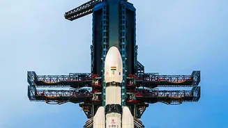
This effort is not happening in isolation. The upcoming NASA-ISRO SAR (NISAR) mission is a testament to the power of international collaboration. A joint project between the two space agencies, NISAR will be the first satellite to use two different radar frequencies (L-band and S-band) to measure changes in our planet's surface with unprecedented detail. It will systematically monitor land, ice sheets, and ecosystems, providing critical data for tracking subtle surface movements that can precede landslides, earthquakes, and volcanic eruptions. Set to launch on an ISRO GSLV rocket, the mission will make global measurements every 12 days, creating a time-lapse view of Earth's processes. This will vastly improve our understanding of natural hazards and provide a reliable stream of data for disaster response for years to come.