


The Legend of the Seven Pagodas
Mahabalipuram, a UNESCO World Heritage site, is famous for its 7th and 8th-century Pallava dynasty monuments. Yet, its most alluring story is not carved in stone but whispered by the waves. European sailors first popularised the name 'Seven Pagodas',
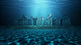
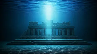
and local lore holds that the god Indra, envious of the city's beauty, submerged six of its temples in a great storm. For generations, fishermen have passed down tales of glimpsing submerged ruins while out at sea, keeping the legend alive and fueling speculation about a lost chapter of history hidden beneath the Bay of Bengal.
A Tsunami's Surprising Revelation
The legend received a dramatic surge of credibility in December 2004. When the Indian Ocean tsunami struck, the sea briefly receded by as much as 500 metres off the Mahabalipuram coast. In that fleeting moment, eyewitnesses reported seeing a long row of large, man-made stone structures emerge from the seabed before being engulfed again by the returning waves. The tsunami also permanently uncovered previously buried sculptures on the beach, including a large stone lion, providing tangible proof that more of Mahabalipuram's history lay hidden. This event galvanized the scientific community, prompting a new and more intensive search for the fabled temples.
The Science of Seeing with Sound
Enter marine archaeology's most powerful tool: sonar. Sonar, which stands for Sound Navigation and Ranging, works by sending pulses of sound into the water. When these sound waves hit an object on or beneath the seabed, they bounce back. A detector records these echoes, and a computer translates the data into detailed images of the seafloor's topography. Archaeologists primarily use side-scan sonar, which is towed behind a boat and can survey wide swathes of the seabed, creating a mosaic-like map. This technology allows researchers to 'see' through the murky water and sediment to identify shapes and structures that could be man-made, without disturbing the site.
The Underwater Expedition
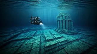
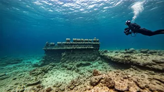
Following the 2004 tsunami, joint expeditions were launched by the Archaeological Survey of India (ASI) and the National Institute of Oceanography (NIO). Armed with sonar equipment, their research vessels began systematically scanning the seabed off the coast. The process involves traversing the area in a grid-like pattern to ensure complete coverage. The data collected revealed numerous anomalies—features that stood out from the natural underwater landscape. These promising sonar readings pinpointed specific areas for further investigation by divers.
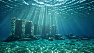
What the Sonar Has Uncovered
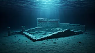
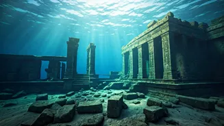
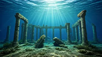
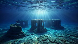
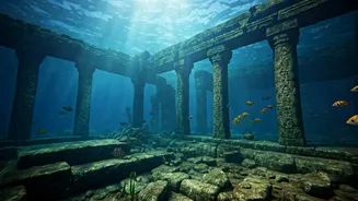
The sonar surveys have been remarkably successful. Researchers have identified what appear to be the remains of walls, including one stretching 70 metres, scattered dressed stone blocks, and foundations of what could be temple structures at depths between 5 and 8 metres. Some of these man-made structures were found as far as 800 metres from the current shoreline. Diver explorations, guided by the sonar maps, have confirmed these findings, discovering walls with multiple courses of masonry and stones with features suggesting they were part of a larger building complex. While many stones are covered in thick marine growth, their shape and arrangement strongly indicate they are of human origin.
Decoding the Past, Piece by Piece
The evidence confirms that Mahabalipuram’s history is not confined to the land. The structures discovered are estimated to be between 1,100 and 1,500 years old, placing them within the Pallava era, consistent with the Shore Temple. Some findings, like brick structures, could even date back to the Sangam period. While no grand, intact city has been found, the sonar data and subsequent dives prove that a significant complex was indeed submerged. The leading theory is not a single cataclysmic event, but rather centuries of coastal erosion and possible tsunamis, like one believed to have occurred in the 13th century, that gradually claimed parts of the ancient port town.