





The View From Above Has Limits
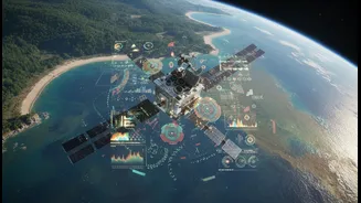
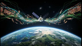
Satellites are incredible tools for understanding climate change. From their orbit, they track shrinking glaciers, monitor deforestation, and measure rising sea levels with remarkable precision. They provide the big-picture data that underpins global
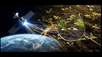
climate models and early warning systems for events like famines or floods. However, this bird's-eye view has its limitations. A satellite can show that a patch of forest has turned brown, but it can't always explain why. Was it a natural fire, a pest infestation, illegal logging, or a drought? This is where the data can become ambiguous, leaving scientists with a high-tech snapshot that lacks crucial context.
The Wisdom on the Ground
This is where local and traditional ecological knowledge (TEK) comes in. TEK is the understanding of the environment that communities develop over generations of living in a particular place. Think of farmers who know the subtle shifts in rainfall patterns, fishers who can read the changing currents, or indigenous communities who know which plants signal a healthy ecosystem. This knowledge is not just anecdotal; it is a long-term, place-based science built on continuous observation and adaptation. For centuries, this knowledge was often dismissed by mainstream science. Today, however, institutions from NASA to the IPCC are increasingly recognizing it as an invaluable and complementary dataset.
A Powerful Partnership in Practice
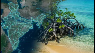
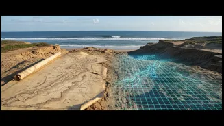
So how does this partnership work? It's about creating a dialogue between two different, but equally valid, ways of knowing. In West Africa, for example, researchers combined satellite imagery of forest cover with interviews with local households. The satellites could show where the forest was disappearing, but the communities could explain the socio-economic reasons driving the change. This fusion of data creates a much richer, more actionable understanding. In Mexico, scientists used satellite data to confirm the changes—like shifting sandbars and muddier waters—that local fishers had been reporting for years, providing quantitative evidence to back up lived experience. In India, community-led initiatives in states like Odisha and Maharashtra are restoring mangrove forests and watersheds, efforts that can be monitored and scaled up with the help of satellite observation.
More Than Just Data
The benefits of this integration go far beyond simply creating better maps. When scientists partner respectfully with local communities, it builds trust and empowers those on the front lines of climate change. It ensures that solutions are culturally relevant and more likely to succeed. For example, village flood committees in Assam use their local understanding to monitor river levels during the monsoon, an effort that is far more effective than a top-down warning system alone. Similarly, farmers in Odisha are reviving traditional saline-resistant paddy seeds to cope with sea-level rise and cyclones, a solution born from local experience. Integrating this knowledge into broader climate strategies ensures that adaptation is not just imposed, but co-created.