





A Sharper Focus on Climate and Oceans
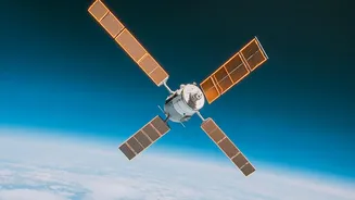
One of the most significant recent additions to our planet-watching toolkit is NASA's PACE (Plankton, Aerosol, Cloud, ocean Ecosystem) mission, which launched in February 2024. Think of it as a hyperspectral eye in the sky, capable of seeing the ocean in a level
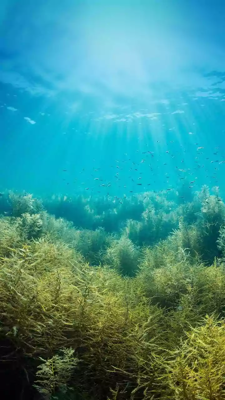
of detail far beyond previous satellites. Its primary goal is to study the tiny organisms that form the base of the marine food web: phytoplankton. By monitoring the color of the ocean, scientists can assess the health of these crucial ecosystems, track harmful algal blooms, and better understand how the ocean absorbs carbon. This data is not just for scientists; it has real-world applications for managing fisheries and ensuring food security. At the same time, PACE observes aerosols and clouds, helping to unravel one of the biggest uncertainties in climate models: how airborne particles affect weather and the planet's energy balance.
Predicting and Responding to Disasters
The joint NASA-ISRO Synthetic Aperture Radar (NISAR) mission is set to be a game-changer for disaster management. Unlike optical satellites that need daylight and clear skies, NISAR uses radar to see through clouds, day and night. It will be able to detect tiny changes in Earth's surface—movements as small as a centimeter. This incredible precision will help in monitoring volcanic activity, the slow creep of landslides, and the shifting ground that can precede earthquakes. By mapping the entire planet every 12 days, NISAR will build a baseline of normal conditions. When a disaster like an earthquake or flood strikes, scientists can compare the new data to this baseline to rapidly assess the damage, helping to guide emergency response teams more effectively. This constant monitoring will also provide crucial information on retreating glaciers and rising sea levels, offering a clearer picture of long-term climate impacts.
Smarter, More Sustainable Agriculture
Future satellite missions are also targeting one of humanity's most fundamental needs: food production. The European Space Agency (ESA) is developing missions like the Land Surface Temperature Monitoring (LSTM) satellite. By providing highly detailed maps of land-surface temperature, LSTM will help farmers optimize irrigation, delivering water exactly when and where it's needed. This is critical for improving agricultural productivity and managing water resources in an era of increasing climate variability and drought. Another upcoming ESA mission, the Copernicus Hyperspectral Imaging Mission for the Environment (CHIME), will provide detailed data on crop health and soil quality, enabling a move towards more precise and sustainable farming practices. It can help identify the threat of pests earlier and reduce the need for inputs like fertilizer, boosting crop yields while lessening environmental impact.
A Holistic View of Earth's Systems
Perhaps the most ambitious effort is NASA's Earth System Observatory, a new fleet of missions designed to work together to create a comprehensive, 3D view of our planet. This collection of satellites will provide key information on everything from wildfires and severe weather to the planet's carbon cycle. The observatory will include missions focusing on aerosols; clouds and precipitation; mass change (tracking water on the move); and surface biology and geology. For example, the recently launched FLEX mission from ESA, which flew alongside the Copernicus Sentinel-3C satellite on September 15, 2026, is designed to measure the faint glow of photosynthesis from space, giving a direct measure of plant health and stress. By combining data from these interconnected missions, scientists will gain an unprecedented understanding of how Earth's complex systems—from bedrock to atmosphere—work together, improving our ability to forecast and mitigate the effects of climate change.