





An Unblinking Eye Over India
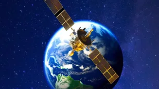
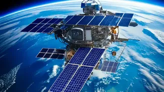
The mission centres on a Geo-Imaging Satellite, or GISAT. After the original GISAT-1 (also called EOS-03) was lost in a launch failure in August 2021, the Indian Space Research Organisation (ISRO) has prepared a successor, GISAT-1A (EOS-05). Unlike most
Earth observation satellites, which circle the globe in Low Earth Orbit and get only brief glimpses of any one location, GISAT-1A is designed for a geostationary orbit. Perched at an altitude of nearly 36,000 kilometres, it will orbit at the same speed as the Earth's rotation. This allows it to remain stationary over the Indian subcontinent, effectively acting as a dedicated, unblinking eye. This constant watch is what separates it from existing systems and provides the foundation for its game-changing potential.
The Power of Near Real-Time Imaging
The single greatest advantage of a geostationary imaging satellite is speed. Current remote sensing satellites may pass over a disaster-struck area only once or twice a day. But a cyclone, flood, or forest fire can change dramatically in a matter of hours, or even minutes. GISAT-1A is designed to image the entire Indian landmass every 30 minutes and can be steered to focus on a specific area of interest, like a developing cyclone or a spreading wildfire, capturing images every five minutes. This capability provides near real-time updates to disaster management agencies. For first responders, this is critical. It means tracking the precise movement of a storm, identifying safe evacuation routes in real-time, and seeing how floodwaters are spreading, allowing for more targeted and effective rescue operations.
From Pictures to Actionable Intelligence
GISAT-1A is more than just a powerful camera. It is equipped with advanced multispectral and hyperspectral imaging instruments. These sensors see light beyond the visible spectrum, allowing them to gather specific data about the Earth's surface. For disaster management, this means officials can do more than just see a flood; they can assess water turbidity and depth. They can monitor the health of crops to give early warnings of drought, map the mineral composition of soil to understand landslide risks, and detect the heat signatures of small fires before they grow into uncontrollable blazes. This turns a simple image into a rich dataset, providing actionable intelligence that can be used for everything from pre-disaster mitigation to post-disaster damage assessment.
Strengthening the Entire Response Chain
The data from GISAT-1A would integrate into India’s increasingly tech-driven disaster management framework, managed by agencies like the National Disaster Management Authority (NDMA). Currently, India uses a host of satellites for disaster support, but GISAT-1A fills a crucial gap for continuous monitoring. Before a disaster, its data can improve prediction models for cyclones and floods. During an event, it provides the real-time situational awareness needed to coordinate rescue and relief efforts on the ground. Afterward, the satellite can rapidly assess the extent of damage to infrastructure, agriculture, and housing, which helps authorities prioritise aid and plan long-term recovery and reconstruction more efficiently. It enhances every single phase of disaster management, moving the country from a reactive stance to a more proactive one.