


Eyes in the Sky: NASA's Ocean Watchers
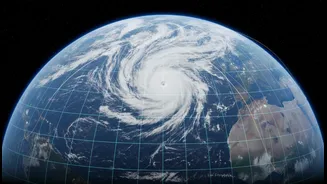
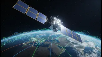
From hundreds of miles above, a fleet of sophisticated NASA satellites continuously monitors our oceans. Missions like PACE (Plankton, Aerosol, Cloud, ocean Ecosystem) and SWOT (Surface Water and Ocean Topography) are designed to provide a global perspective
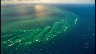
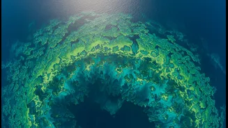
that would be impossible to achieve from the surface alone. These orbiters are equipped with advanced instruments that measure key ocean characteristics. For example, they track sea surface temperature, ocean color, sea level height, and even surface salinity. Ocean color data can reveal the presence and concentration of phytoplankton, the microscopic plants that form the base of the marine food web. By observing these properties on a global scale, scientists can monitor everything from the health of marine ecosystems to large-scale climate patterns.
Boots on the Deck: The Role of Research Fleets
While satellites provide a crucial big-picture view, they can't see everything. Most satellite sensors can only measure the very top layer of the ocean. That's where oceanographic research vessels come in. These floating laboratories deploy a wide array of instruments to collect what is known as "in-situ" or on-site data. They lower sensor packages to measure temperature, salinity, and other properties at various depths, collect physical water samples for chemical and biological analysis, and deploy autonomous buoys and gliders that gather data for months at a time. This hands-on research provides a detailed, high-resolution look at specific ocean areas, offering a depth of information that satellites cannot capture.
The Digital Handshake: A Symbiotic Relationship
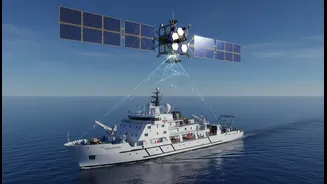
The collaboration between satellites and ships is a two-way street. Satellite data is often beamed to research vessels in near real-time, helping scientists on board make critical decisions. For instance, ocean color data from a satellite like PACE can guide a ship to the precise location of a phytoplankton bloom for detailed study. This allows for more efficient and targeted research, ensuring that scientists are in the right place at the right time. In return, the data collected by the ships is essential for validating and calibrating the satellite measurements. This process, known as "ground-truthing," involves comparing the direct measurements from the ship with the data collected by the satellite as it passes overhead. This comparison allows scientists to confirm the accuracy of the satellite data and refine the algorithms used to process it, making the global dataset more reliable for everyone.
Unlocking Ocean Secrets Together
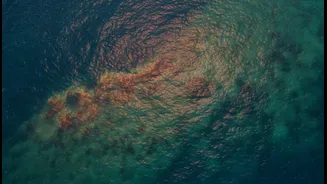
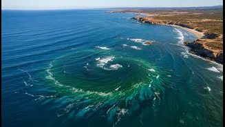
This powerful synergy is revolutionizing our understanding of the ocean. The SWOT mission, for example, provides unprecedented 2D maps of sea surface height, revealing small-scale eddies and currents that play a crucial role in mixing heat and carbon in the ocean. Research vessels were instrumental in validating the accuracy of these groundbreaking measurements. Similarly, the PACE satellite's hyperspectral instrument can differentiate between different types of phytoplankton from space, a feat previously impossible. This is only possible because of extensive field campaigns, using ships and airborne instruments, to build the necessary data libraries to interpret the satellite signals correctly. This combined approach is vital for monitoring harmful algal blooms, managing fisheries, and improving our global climate models.