
More Than Just a Snapshot
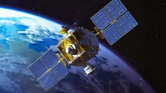
In the world of interplanetary exploration, a fundamental shift is underway. A camera is no longer just a camera. On missions launching today, imaging systems are being designed from the ground up as a single, crucial component within a larger, interconnected
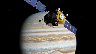
web of scientific instruments. This integrated approach is less about taking pretty pictures and more about building a complete, multi-layered understanding of a celestial body. By combining visual data with information from radars, spectrometers, and magnetometers, scientists are unlocking a level of insight that no single instrument could ever provide on its own. This philosophy is at the heart of some of NASA’s most ambitious new ventures, including the Europa Clipper mission, which is on a quest to investigate Jupiter’s icy moon.
The Eyes on Europa
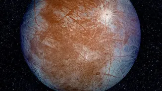
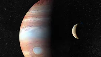
The Europa Clipper mission is a prime example of this new paradigm. Its main imaging system, aptly named EIS (Europa Imaging System), is a marvel of engineering, equipped with both a wide-angle and a narrow-angle camera. These cameras will map about 90% of Europa's surface at a resolution that is five times better than anything we have from previous missions like Galileo. They will capture breathtaking images of the moon’s fractured, icy shell, with its mysterious ridges, valleys, and dark bands. The narrow-angle camera can even spot features as small as a few feet across. But while these images will be revolutionary, their true scientific value is realized when they are combined with data from the spacecraft's other tools.
A Symphony of Sensors
Europa Clipper carries a suite of nine sophisticated science instruments, and they are all designed to play in concert. For instance, the mission also has a powerful ice-penetrating radar called REASON (Radar for Europa Assessment and Sounding: Ocean to Near-surface). While the EIS cameras map the surface geology in stunning 3D, REASON will simultaneously peer deep beneath the ice, measuring the thickness of the shell and searching for pockets of liquid water—or even the theorized global ocean itself. By overlaying the camera's surface maps with the radar's subsurface data, scientists can directly correlate surface features, like a long crack or a collapsed region, with what's happening miles below. This synergy transforms the camera from a simple observer into a vital part of a system that can probe the relationship between the surface and the deep interior.
The Scientific Payoff
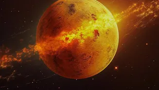
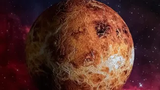
This integrated approach is not limited to Europa. NASA's upcoming DAVINCI mission to Venus will drop a probe through the planet's crushingly dense atmosphere. As it descends, a camera will take high-resolution images of the terrain below, but it will do so while other instruments simultaneously measure the precise chemical composition, temperature, and pressure of the atmosphere at each altitude. The result will be the first-ever comprehensive profile of Venus's environment from top to bottom, directly linking what is seen with what is measured. For Europa, the stakes are even higher. The combination of EIS imagery and REASON radar data could help scientists identify areas where the icy shell is thinnest or where there might be recent geologic activity, potential signs of plumes venting material into space. These would be prime locations to search for conditions suitable for life, turning a set of images and radar signals into a treasure map for astrobiology.