





What Is El Niño, Simply Put?
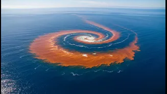
El Niño is a naturally occurring climate pattern that starts far away in the tropical Pacific Ocean. Normally, strong winds blow from east to west, piling up warm ocean water near Southeast Asia and Australia. During an El Niño, which happens every few
years, these winds weaken or even reverse. This allows the massive pool of warm water to shift eastward, toward the Americas. This change in ocean temperature might seem distant, but it sets off a chain reaction in the atmosphere, disrupting weather patterns across the globe, including India's vital southwest monsoon.
The General Rule: A Weaker Monsoon
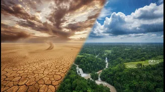
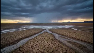
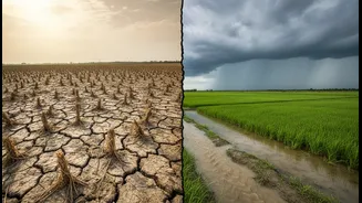
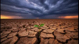
Historically, El Niño has a strong correlation with weaker monsoon seasons in India. The warming of the Pacific Ocean alters large-scale atmospheric circulation, including the Walker Circulation, which is crucial for the monsoon. This disruption can weaken the low-pressure system that typically forms over the subcontinent, which is needed to draw moisture-laden winds from the Indian Ocean. The result is often reduced overall rainfall, delayed onset of the monsoon, and longer dry spells during the season, increasing the risk of widespread drought.
Northwest and Central India: The Drought Prone Zone
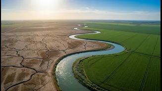
The impact of El Niño is not uniform, and some of the most significant effects are often felt in Northwest and Central India. These regions, which include the crucial agricultural belts of Punjab, Haryana, Rajasthan, Maharashtra, and Gujarat, are particularly vulnerable to rainfall deficits during El Niño years. The phenomenon tends to shift the monsoon trough—a key low-pressure belt—northward, leading to less rainfall over these plains and the peninsular region. This can lead to drought-like conditions, severely impacting the sowing and growth of essential kharif crops like rice, cotton, and soybeans.
Southern Peninsula: A Mixed but Risky Picture
For South India, the relationship with El Niño is also generally negative, leading to below-normal rainfall. States like Karnataka, Andhra Pradesh, and Tamil Nadu often experience significant rainfall deficits that affect agriculture and water reservoirs. However, the impact here can be complex. While the southwest monsoon (June-September) is typically suppressed, the northeast monsoon (October-December), which is crucial for Tamil Nadu and parts of Andhra Pradesh, can sometimes behave differently. Despite this, the dominant trend during El Niño years is a reduction in the primary monsoon rainfall, stressing water resources across the peninsula.
The Northeast Exception and Other Factors
Interestingly, not all of India suffers from drought during an El Niño. The northward shift of the monsoon trough can sometimes lead to more concentrated rainfall over the Himalayan foothills and parts of Northeast India. Furthermore, El Niño is not the only climate driver at play. A phenomenon in the Indian Ocean, known as the Indian Ocean Dipole (IOD), can have a major influence. A 'positive' IOD, where the western Indian Ocean is warmer than the east, can help counteract El Niño's negative effects by pushing more moisture towards India. If the IOD is positive, it can sometimes rescue the monsoon from what would otherwise be a severe drought, explaining why not every El Niño year results in a disastrous monsoon season.