


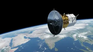
Our Planet's All-Weather Watcher
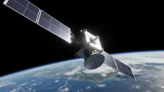
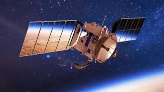
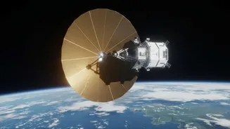
The NISAR (NASA-ISRO Synthetic Aperture Radar) mission is a landmark collaboration between the US and Indian space agencies. Launched in July 2025, it is the world's first satellite to use two different radar frequencies—L-band and S-band—to observe our
planet. This technology, known as Synthetic Aperture Radar (SAR), works by sending microwave pulses to the Earth's surface and interpreting the signals that bounce back. Unlike optical satellites that are essentially cameras in space, radar is not hindered by clouds, darkness, or bad weather. This gives NISAR a unique and powerful ability to monitor the entire globe consistently, creating a time-lapse view of Earth’s processes that was previously impossible.
The Power of a Daily View
While the full global dataset is compiled every 12 days, ISRO has now begun releasing S-band processed data products on a daily basis through its Bhoonidhi portal. This is a significant development. The daily release of images allows scientists and disaster management agencies to monitor rapid-onset events nearly in real-time. For India, this is a game-changer for tracking monsoon flooding, even under thick cloud cover, and assessing damage from landslides or cyclones within hours, not days. The S-band radar, provided by ISRO, is particularly sensitive to smaller vegetation, making it ideal for monitoring agriculture and grasslands. Having this steady stream of data helps build a more dynamic understanding of everything from crop health to the stability of critical infrastructure.
What the New Clues Reveal
The initial and ongoing data releases from both L-band and S-band instruments have provided fresh clues about the radar's remarkable capabilities. The first images, captured in late 2025, demonstrated the ability to distinguish between forests, urban areas, and water with high resolution. More recent data has shown how the satellite can track subtle changes in the ground, revealing that parts of Mexico City sank two centimetres in a month and mapping the extent of glacial ice in Antarctica. In India, the first sets of data have been used to create high-resolution soil moisture maps, a vital resource for the nation's agricultural sector. This demonstrates NISAR's ability to see 'through' surfaces; for example, the L-band can penetrate forest canopies to measure changes on the ground below, something optical satellites cannot do.
A Game-Changer for India
For India, NISAR is more than just a scientific mission; it is a critical tool for national development and safety. ISRO has identified key applications, including monitoring the health of Himalayan glaciers, which are vital for water security. The satellite’s ability to measure changes in biomass will transform forest management and agriculture monitoring across the country. Perhaps most critically, NISAR will vastly improve India’s disaster response capabilities. By providing rapid and clear data on floods, landslides, and earthquakes, agencies can make faster, more informed decisions to protect lives and property. All NISAR data will be freely and openly available to the public, empowering researchers, policymakers, and citizens alike.