

The Pacific Ocean's Global Influence
Thousands of kilometres away, the tropical Pacific Ocean engages in a slow, powerful dance known as the El Niño-Southern Oscillation (ENSO). This is a naturally recurring climate pattern that involves changes in sea surface temperatures and the air pressure
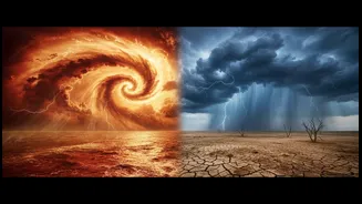
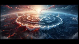
of the atmosphere above it. This cycle alternates between three phases: El Niño (the warm phase), La Niña (the cool phase), and a neutral phase in between. While it originates in the Pacific, its effects ripple across the globe, significantly impacting weather patterns from South America to Australia and, most critically for India, the behaviour of the southwest monsoon.
El Niño: The Warm Phase and Weaker Rains
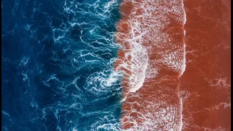
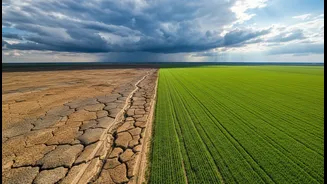
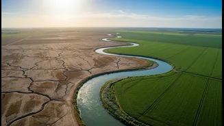
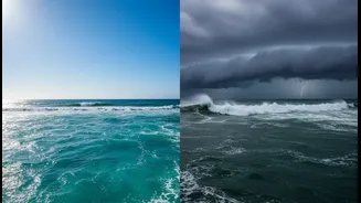
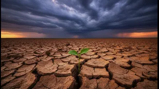
El Niño, Spanish for “the little boy” or “Christ child” because it often appears around December, is marked by the unusual warming of surface waters in the central and eastern Pacific Ocean. Normally, strong trade winds blow from east to west, piling up warm water in the western Pacific near Asia and Indonesia. During an El Niño event, these trade winds weaken or even reverse. This allows the massive pool of warm water to shift eastward, back towards the coast of South America. This shift in warm water changes atmospheric pressure, weakening the low-pressure system over the Indian Ocean region that helps pull moisture-laden monsoon winds towards the subcontinent. The result is often a suppression of monsoon rainfall, leading to drier conditions and, in severe cases, drought across many parts of India.
La Niña: The Cool Phase and Bountiful Monsoons
La Niña, meaning “the little girl,” is essentially the opposite of El Niño. During a La Niña event, the trade winds become even stronger than usual, pushing more warm water towards the western Pacific. This intensifies the upwelling of cold water off the coast of South America, making the eastern Pacific cooler than average. This temperature difference strengthens the atmospheric circulation that favours India’s monsoon. The low-pressure system over the western Pacific and Indian Ocean becomes more robust, enhancing the flow of moisture from the sea to the land. Consequently, La Niña years are often associated with above-average rainfall, sometimes leading to floods but generally benefiting Indian agriculture and water reservoirs.
The Wild Card: The Indian Ocean Dipole
The ENSO cycle isn't the only player in the game. The Indian Ocean has its own version of this phenomenon, called the Indian Ocean Dipole (IOD), sometimes nicknamed the “Indian El Niño”. The IOD refers to the difference in sea surface temperatures between the western Indian Ocean (Arabian Sea) and the eastern Indian Ocean (near Indonesia). A 'positive' IOD, with warmer waters in the Arabian Sea, can actively boost monsoon rains by supplying more moisture, sometimes even counteracting the drying effects of an El Niño. Conversely, a 'negative' IOD, with cooler western waters, can weaken the monsoon and worsen drought conditions, especially if it occurs alongside an El Niño. This interaction helps explain why not all El Niño years result in severe drought in India.
A Complex and Evolving Relationship
While the connection is strong, the relationship between ENSO and the Indian monsoon is not perfectly linear. Not every El Niño year leads to a failed monsoon, and not every La Niña guarantees a flood. The strongest El Niño of the 20th century in 1997-98, for example, resulted in above-average rain for India, partly thanks to a positive IOD. Furthermore, research shows this relationship has been changing over time. In recent decades, the link between ENSO and rainfall has weakened over central India but has become stronger over north India. Other factors, such as snow cover over the Himalayas and Eurasia, also play a role in the monsoon's strength, making it a complex puzzle for climate scientists to solve each year.