


A Fortress Under Siege
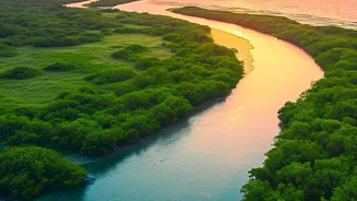
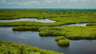
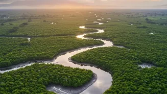
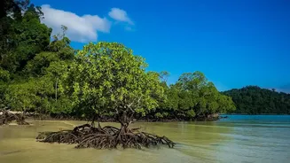
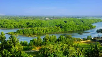
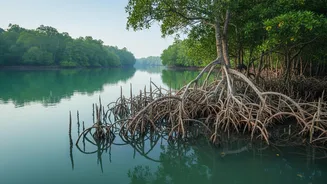
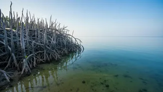
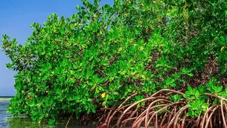
Spanning India and Bangladesh, the Sundarbans is more than just a forest; it is a natural barrier protecting millions of people from cyclones and storm surges. This UNESCO World Heritage Site is a globally important carbon sink, storing up to four times
more carbon per hectare than a typical tropical rainforest. Yet, this fortress is under constant assault. Rising sea levels, coastal erosion that swallows up to 200 metres of coastline per year in some areas, increasing water salinity, and illegal deforestation all pose severe threats to its existence. The health of this complex ecosystem, which supports endangered species like the Royal Bengal Tiger, is declining under these combined pressures.
The View from Above
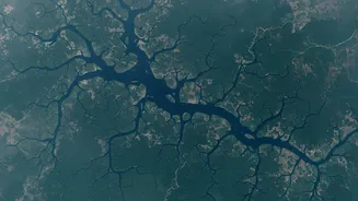
Effectively monitoring a vast, dense, and often inaccessible area like the Sundarbans has always been a monumental challenge. This is where satellite telemetry and remote sensing come in. Think of it as a large-scale health check-up from space. Satellites like those in the Landsat program or the European Space Agency's Sentinel-2 mission capture detailed images and data from hundreds of kilometres above the Earth. These are not just simple pictures; they contain a wealth of information across different spectral bands, allowing scientists to see what the human eye cannot. By analysing this data over time, researchers can track subtle but critical changes across the entire ecosystem.
Decoding the Data
Raw satellite data is transformed into actionable intelligence through sophisticated analysis. Scientists use specific measurements, like the Normalised Difference Vegetation Index (NDVI), which acts as a reliable indicator of plant health and density. By comparing NDVI values over months and years, they can identify 'browning' areas where mangrove health is declining, potentially due to increased salinity or pollution. Radar-based systems, such as the one on the joint ISRO-NASA satellite NISAR, have the powerful ability to pierce through cloud cover, making monitoring possible even during the monsoon season. This technology can detect changes in land elevation, map shoreline erosion with precision, and even differentiate between different types of land cover, such as deep forest, barren land, and water bodies.
From Insights to Intervention
This wealth of information allows conservationists and forest departments to move from a reactive to a proactive stance. Instead of discovering environmental damage long after it has occurred, authorities can get early warnings. For instance, if satellite data reveals a new patch of deforestation, patrols can be dispatched immediately to investigate illegal logging. If data shows a particular stretch of coastline is eroding rapidly, it provides a strong case for targeted mangrove replanting initiatives, like the government's MISHTI scheme. By identifying which species are struggling in certain zones due to salinity, restoration efforts can focus on planting more salt-tolerant varieties, thereby increasing the resilience of the forest. This data-driven approach ensures that limited conservation resources are deployed where they are needed most, maximising their impact.