




A Delta in Distress
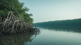
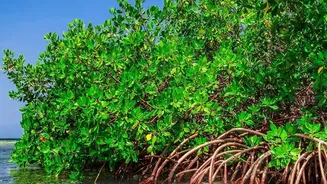
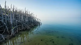
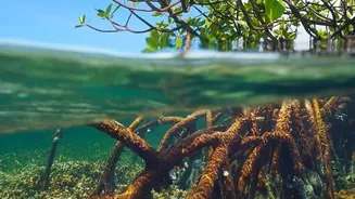
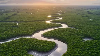
The Sundarbans, a UNESCO World Heritage site straddling India and Bangladesh, is a land of immense ecological value and profound vulnerability. This unique deltaic region is on the front line of climate change. Studies show that a significant portion
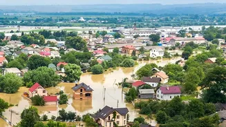
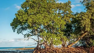
of India's coastline is experiencing erosion, with the Sundarbans being one of the most critically affected areas. Factors like rising sea levels, increased frequency of powerful cyclones, and a reduction in sediment flow from upstream rivers are contributing to a rapid loss of land. For some islands, the rate of coastline retreat is alarmingly high, threatening not only the mangrove ecosystem, which acts as a natural barrier against storm surges, but also the lives and livelihoods of the millions who call this fragile region home.
The Digital Watchdogs
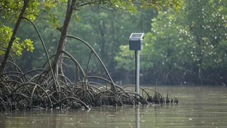
In the face of such a persistent threat, traditional methods of monitoring are often too slow and labour-intensive to be effective. This is where real-time telemetry networks come in. Think of telemetry as a way to get data from a remote, often inaccessible, place to a central location for analysis. It is the automated process of collecting measurements—like water levels, wave height, or soil salinity—and transmitting them wirelessly for immediate monitoring. In a complex and challenging environment like the Sundarbans, these networks act as digital watchdogs, providing a continuous stream of information that is crucial for understanding the dynamics of coastal erosion as they happen.
How the Network Functions
A telemetry network is built around three core components. First are the sensors. These rugged devices are strategically placed along the coastline, in estuaries, and on riverbanks. They are designed to measure specific environmental parameters; for example, water level recorders track tidal fluctuations, turbidity sensors measure the amount of sediment in the water, and GPS units can detect minute shifts in land position. The second component is the Remote Telemetry Unit (RTU). This device collects the data from the sensors and prepares it for transmission. Finally, the data is sent via a communication network—often using satellite, cellular (GSM), or dedicated radio frequencies—to a central server or cloud dashboard. This allows scientists and officials to see what is happening on the ground from a control room, sometimes hundreds of kilometres away.
From Raw Data to Actionable Insight
The true power of these networks lies not just in collecting data, but in interpreting it. The constant flow of information feeds into sophisticated computer models that can predict how the coastline might change in the coming days, weeks, or months. This allows authorities like the National Centre for Coastal Research (NCCR) to issue timely warnings about potential flooding or accelerated erosion. The data also provides invaluable insights for long-term planning. By understanding exactly where and how fast erosion is occurring, engineers can design more effective coastal defences, such as reinforcing embankments or planning mangrove restoration projects in the most critical areas. It turns a reactive process into a proactive one, helping to allocate limited resources more effectively.
Challenges and the Path Forward
Deploying and maintaining high-tech equipment in the Sundarbans is not without its difficulties. The saline environment is corrosive to electronics, the dense forest and network of waterways make access difficult, and the sheer power of cyclones can damage or destroy infrastructure. Furthermore, technology is only part of the solution. Integrating scientific data with local knowledge and ensuring community participation is vital for the success of any conservation effort. Despite these hurdles, the use of technology for environmental monitoring is growing. From drones used for aerial surveillance to telemetry networks providing ground-level data, these tools are becoming indispensable in the fight to protect this vital ecosystem. They offer a glimmer of hope, providing the critical information needed to make smarter, faster decisions in the race against the rising tide.