





A Partnership Forged in Space
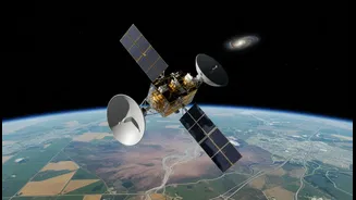
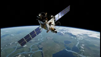
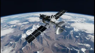
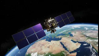
The NISAR (NASA-ISRO Synthetic Aperture Radar) mission is a testament to the power of international collaboration and a high point in the strategic partnership between the United States and India. Jointly developed by the two space agencies, it is one
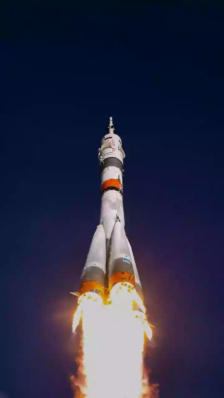
of the most ambitious and expensive Earth-imaging satellite projects ever undertaken, with a total cost of approximately $1.5 billion. The agreement, signed in 2014, saw a clear division of labour that played to the strengths of each organisation. NASA provided the L-band radar, a high-rate communication system for science data, GPS receivers, and a data recorder. ISRO contributed its own S-band radar, the main satellite structure (the bus), and crucially, the powerful GSLV rocket that launched the observatory from the Satish Dhawan Space Centre in Sriharikota. After its successful launch, the satellite entered its full science operations phase in early 2026, beginning its vital work of scanning our planet.
The All-Seeing Eye: How NISAR Works
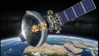
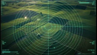
What makes NISAR so special is its unique technology. It is the first satellite to use two different radar frequencies, L-band and S-band, simultaneously. This dual-frequency capability acts like having two sets of eyes with different strengths. Think of Synthetic Aperture Radar (SAR) as a kind of flash photography that can work through clouds, smoke, and darkness, day or night. The longer wavelength L-band radar, provided by NASA, can penetrate through forest canopies and lighter vegetation to see the ground underneath, making it ideal for measuring changes in biomass and ground stability. The shorter wavelength S-band radar from ISRO is more sensitive to things like soil moisture, agricultural crop texture, and small-scale surface changes. Together, they scan a massive 240-kilometre-wide swath of the Earth, mapping the entire globe every 12 days and detecting surface movements as small as a single centimeter.
Real-World Benefits for India
For India, NISAR is not just a point of national pride; it is a critical tool for managing some of the country's most pressing challenges. The satellite’s data provides unprecedented insights for disaster management and resource monitoring. For example, its ability to precisely measure ground deformation will significantly improve our ability to monitor seismic zones and provide early warnings for landslides, especially in the fragile Himalayan region. The S-band radar will offer vital information on soil moisture across the country, which is a game-changer for predicting agricultural yields, managing water resources, and improving drought assessment. Furthermore, NISAR will continuously track the health of India's forests, monitor the retreat of Himalayan glaciers which feed our major rivers, and help map coastal changes, providing practical intelligence to safeguard both lives and livelihoods.
A Global Watchtower for a Changing Planet
While the benefits for India are immense, NISAR is fundamentally a global mission. In a move that democratises Earth observation, both NASA and ISRO have committed to making all of NISAR's data freely and openly available to the public within days of collection. For disaster response, this window will shrink to just hours. This policy will empower scientists, governments, and organisations worldwide to better understand and respond to climate change. Researchers will use the data to track the collapse of ice sheets in Antarctica and Greenland, measure the carbon stored in the world's forests, and monitor the impacts of volcanoes and earthquakes. By providing a consistent, high-resolution, and frequently updated picture of our planet's dynamics, NISAR serves as a global watchtower, providing the unbiased data needed to make informed decisions for a sustainable future.