





A World Heritage Site on the Brink
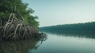
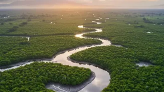
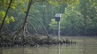
The Sundarbans is more than just the world's largest mangrove forest; it is a UNESCO World Heritage site and a crucial ecological buffer for millions. This labyrinth of tidal waterways, mudflats, and salt-tolerant trees is home to the iconic Bengal tiger
and supports the livelihoods of over four million people in India alone. Crucially, it acts as a natural barrier, absorbing the impact of cyclones and storm surges that frequently batter the Bay of Bengal. However, this vital ecosystem is facing an existential threat. A combination of rising sea levels—at a rate more than twice the global average—and reduced sediment flow from upstream rivers is causing alarming rates of coastal erosion. Islands that were once stable are shrinking, and some have vanished entirely, taking with them homes, farms, and precious mangrove habitats.
The Challenge of On-the-Ground Tracking
For decades, monitoring the health of the Sundarbans was a monumental task. The delta is vast, remote, and incredibly dynamic, with a constantly shifting landscape. Traditional methods of tracking land loss, such as manual ground surveys, were slow, expensive, and often dangerous. By the time erosion was measured and mapped, the data was already out of date, leaving authorities perpetually one step behind. Trying to protect a coastline that stretches for thousands of kilometers with such limited information was like trying to patch a leaking dam with your eyes closed. The sheer scale and inaccessibility of the region demanded a more comprehensive and timely solution.
Eyes in the Sky: A New Era of Monitoring
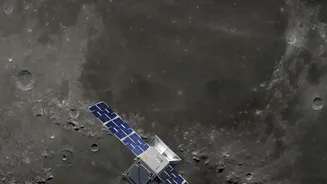
This is where modern technology provides a breakthrough. Real-time satellite monitoring has revolutionised how we watch over the Sundarbans. Using a combination of optical and radar-based satellites, agencies can now capture high-resolution images of the entire delta at frequent intervals. Techniques like Normalized Difference Vegetation Index (NDVI) analysis help scientists measure the health and density of mangrove forests from space, while other methods can precisely map changes in the shoreline, water bodies, and sediment deposits. While not instantaneous, this 'near real-time' data flow allows for the detection of changes over days and weeks, rather than months or years, offering an unprecedented view of the ecosystem's dynamics.
From Data to Decisive Action
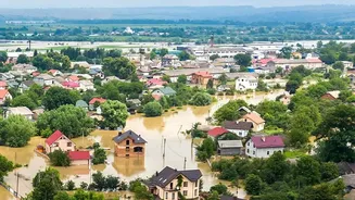
It is crucial to understand that satellites themselves do not prevent land loss. Their power lies in providing the precise, actionable intelligence needed for effective intervention on the ground. When satellite data identifies a specific stretch of embankment that is rapidly eroding, engineers can be dispatched to reinforce it before it breaches, saving entire villages from saltwater inundation. The data also helps in strategic planning for conservation. By identifying areas of stable land accretion, authorities can target these zones for successful mangrove afforestation projects, rebuilding the forest's natural defences. This proactive approach, informed by satellite intelligence, is a game-changer, moving from a reactive state of disaster relief to a forward-looking strategy of prevention and resilience.
The Future of a Fragile Ecosystem
The integration of satellite technology into the management of the Sundarbans marks a significant step forward, but the fight is far from over. As climate change intensifies, the pressures on this fragile ecosystem will only grow. The future of monitoring will likely involve integrating Artificial Intelligence (AI) to analyse vast datasets and create predictive models, forecasting which areas will be most vulnerable to the next storm or tidal surge. This technology, combined with continued on-the-ground efforts like community-led mangrove planting and embankment reinforcement, offers the best hope for safeguarding the Sundarbans. It’s a powerful synergy of human ingenuity and natural resilience, working together to protect a priceless part of our national heritage for generations to come.