





A River That Carries the Himalayas With It
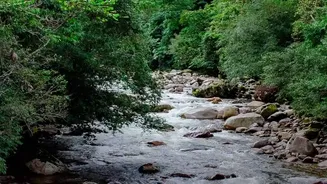
The primary reason for the Kosi's destructive nature is its immense sediment load. As it descends from the world’s highest peaks, including the Mount Everest region, its seven major tributaries carve through the young, fragile Himalayan mountains. This
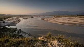
process erodes enormous quantities of silt and rock, which the river carries downstream. While the Kosi basin makes up only a small fraction of the Ganges river system, it contributes nearly a quarter of its total sediment. Estimates suggest it transports between 100 and 135 million tonnes of silt annually. This incredible volume of material is far more than the river can carry once it reaches the flat plains of Nepal and Bihar.
The Shifting Sands of a Restless River
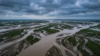
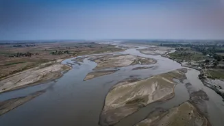
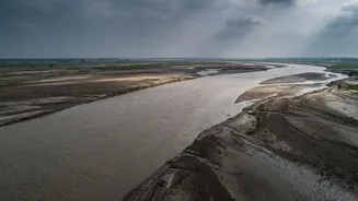
This massive sediment load doesn't just disappear; it gets deposited on the riverbed. This process, known as aggradation, raises the river's floor, sometimes elevating it several metres above the surrounding floodplain. As the riverbed gets choked with silt, the water is forced to find a new, lower path. This sudden, violent change of course is called an avulsion. The Kosi is infamous for this behaviour, having shifted its channel westward by over 110 kilometres in the last 250 years. This unpredictable wandering means areas that were once considered safe can suddenly find themselves in the direct path of a raging river, as seen in the catastrophic 2008 floods.
The Embankment Paradox
To tame the river, extensive embankments were constructed along its banks in the 1950s. The idea was to confine the river to a single channel and protect the agricultural lands and villages on its vast alluvial fan. However, these man-made barriers have had an unintended consequence. By trapping the river, they also trap its sediment. This has accelerated the process of the riverbed rising within the embankments. Over time, the river flows at a higher elevation than the land outside, contained only by the levees. When a breach occurs—due to intense monsoon rains or poor maintenance—the result is not just a flood, but a catastrophic failure as the elevated river violently empties itself onto the low-lying plains. The 2008 Kusaha breach in Nepal is a tragic example of this, where the river changed its course by over 100 km, affecting millions.
Monsoons, Climate, and Human Factors
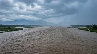
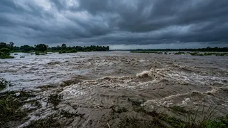
The Kosi’s natural tendencies are amplified by other factors. Intense seasonal monsoon rainfall swells the river, increasing its erosive power and its capacity to carry silt. Upstream, factors like land use changes and deforestation can contribute to erosion, adding to the sediment load. Furthermore, climate change is expected to intensify monsoon extremes and potentially increase the risk of Glacial Lake Outburst Floods (GLOFs) in the high Himalayas. These events could send sudden, massive pulses of water and debris downstream, further pressuring the already-strained Kosi system. The combination of its unique geology, extreme sediment dynamics, and the powerful monsoon cycle makes managing the Kosi an immense and ongoing challenge for both India and Nepal.