


A New Eye on India
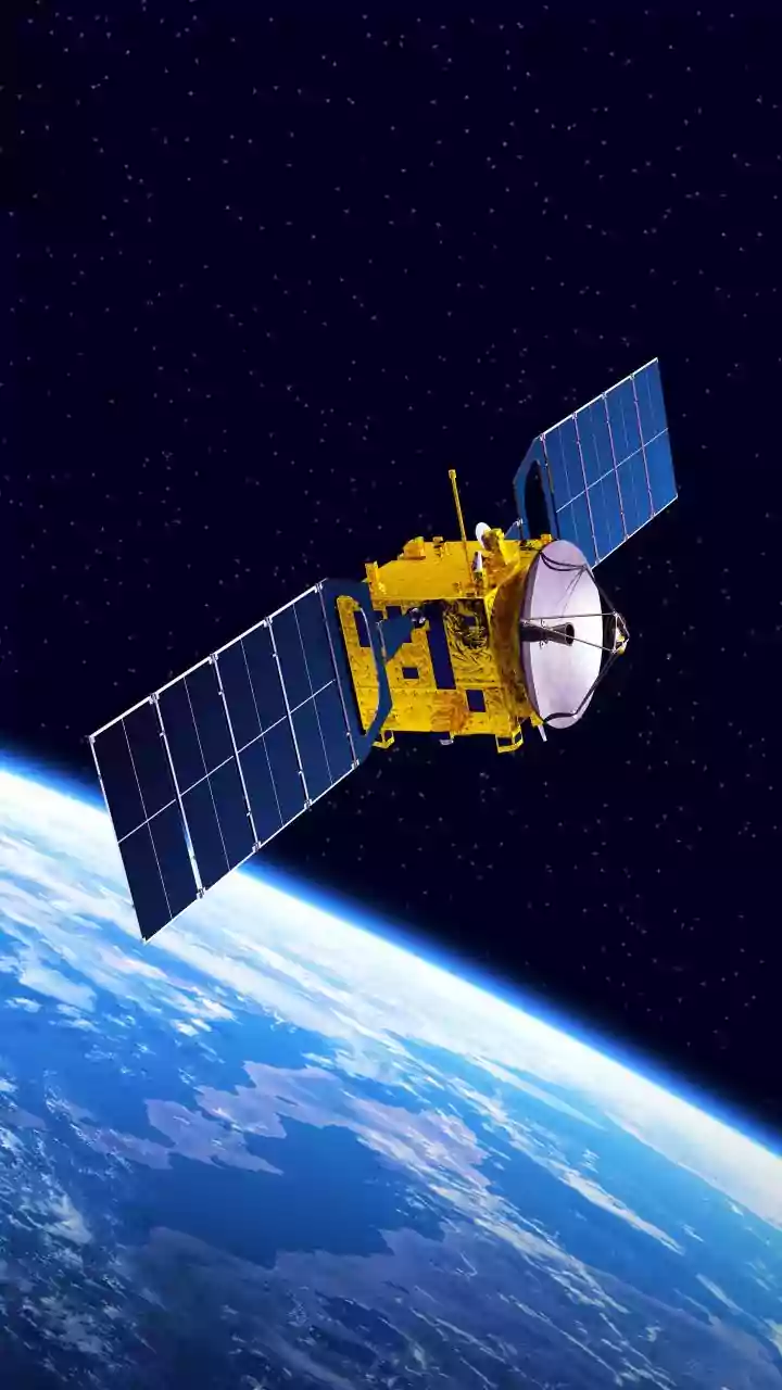
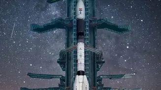
After its successful launch on July 30, 2025, the NASA-ISRO Synthetic Aperture Radar (NISAR) mission has entered its science phase, and the results are already proving to be game-changing for India. This collaborative project, one of the most advanced
Earth-observation satellites ever built, is now systematically scanning the globe, providing data that is crucial for understanding our planet's complex processes. For India, this means getting an incredibly detailed and regularly updated look at two of our most critical assets: our forest cover and our groundwater reserves. Unlike optical satellites that are blinded by clouds or darkness, NISAR uses advanced radar technology that can see through almost any weather, day or night. This all-weather capability ensures a consistent stream of information, which is vital for a monsoon-dependent country like India.
Seeing Through the Canopy
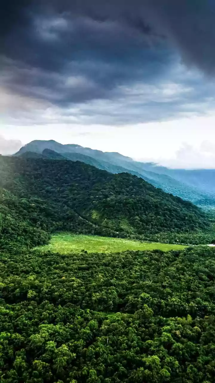
One of NISAR’s most remarkable abilities is its use of two different radar frequencies, L-band and S-band. This dual-frequency approach acts like a sophisticated X-ray, allowing scientists to not just see the top of a forest but to peer through the dense canopy. The shorter S-band waves, provided by ISRO, interact with the upper and middle layers of the forest, giving information about foliage and density. The longer L-band waves from NASA can penetrate deeper, right down to the forest floor. This allows for the first-ever large-scale, accurate measurement of forest biomass—the total amount of organic matter, like trunks and branches. This is critical for monitoring deforestation and understanding the role our forests play in carbon storage and climate change. It also means we can spot signs of distress or illegal logging that would be invisible from above.
Mapping India's Water Lifeline
Beyond the forests, NISAR's radar is providing a crucial view of what lies beneath the soil. The satellite can detect tiny changes in the ground's surface—movements as small as a centimetre. By comparing images over time, scientists can determine where the ground is sinking (subsidence) or rising. This is often a direct indicator of changes in underground aquifers. For a country where groundwater is the lifeline for agriculture and provides drinking water for millions, this is revolutionary. By February 2026, India's National Remote Sensing Centre (NRSC) had already used early NISAR data to create detailed soil moisture maps for the Indo-Gangetic Plains. This information helps farmers with irrigation planning, improves crop yield predictions, and gives authorities a powerful tool for drought management and ensuring long-term water security.
From Data to Decisions
The data from NISAR isn't just for scientific curiosity; it's designed for practical action. All data from the mission is being made freely available, allowing state governments, research institutions, and disaster management agencies across India to use it. For example, the detailed mapping of forest biomass and disturbances will help in better forest management and conservation efforts. Similarly, the groundwater and soil moisture data can directly inform policies on water usage and agricultural planning. The satellite will also be a vital asset for disaster management, helping to monitor landslide-prone areas in the Himalayas, assess flood risks in river basins, and provide rapid damage assessment after natural calamities like earthquakes or cyclones.