





The View From Above
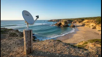
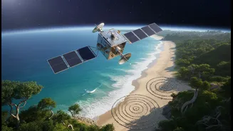
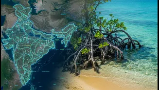
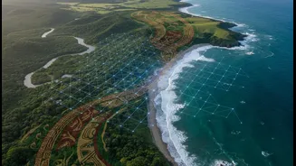
Satellites provide an invaluable, big-picture perspective on our changing planet. From orbits high above the Earth, remote sensing technology can track shoreline erosion, monitor the health of vital mangrove forests, measure sea surface temperatures,
and detect changes in land use with remarkable precision. This Earth Observation (EO) data allows scientists and policymakers to see patterns unfolding over vast areas and long periods, providing critical evidence of climate change's impact. For a country like India, with over 7,500 kilometres of coastline, this capability is essential for large-scale risk assessment. However, satellite data has its limits. It can tell you what is changing, but often struggles to explain why or what it means for the people living there. It sees the data points, but not always the full story.
The Wisdom From Within
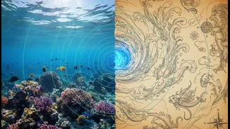
This is where Indigenous and traditional ecological knowledge (TEK) provides the missing context. For generations, coastal communities have built an intricate understanding of their local environment. This knowledge, passed down through stories, practices, and direct observation, contains a deep history of the land and sea. It includes an awareness of subtle shifts in wind patterns, the behaviour of marine life, the historical location of old shorelines, and the cultural significance of specific places. This living library of information is highly localised and time-tested. Indigenous communities often notice environmental anomalies long before they appear in scientific datasets, providing a crucial early warning system. Their knowledge isn't just historical; it's a dynamic and adaptive way of understanding a complex system.
A Powerful Partnership
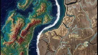
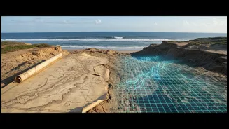
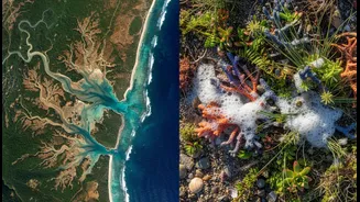
The real breakthrough comes when these two powerful knowledge systems are treated as equals and combined. Imagine satellite imagery shows a patch of coastal wetland is degrading. The data itself doesn't explain the cause. But by consulting with local fishing communities, planners might learn that a subtle change in a local current, known only to those who navigate it daily, has altered sediment flow. Or, TEK might reveal that an area identified by satellites as suitable for agricultural development is, in fact, a critical buffer zone during monsoon floods, a fact known only through generations of experience. In the Canadian Arctic, this combination of AI, satellite data, and Inuit knowledge helped locate new fishing grounds, creating climate-resilient economic opportunities. This synergy fills the gaps in each system, creating a richer, more accurate evidence base for decision-making.
The Future of Community Evidence
This integrated approach is about more than just better data; it represents a fundamental shift in climate planning. It moves from a top-down model, where external experts dictate solutions, to a collaborative one that empowers local communities. When community members are involved in gathering and interpreting evidence, the resulting plans are more likely to be accepted, effective, and sustainable. This process builds trust and acknowledges that the people most vulnerable to climate change often hold key pieces of the solution. This new model of 'community evidence' ensures that adaptation strategies are not only scientifically sound but also culturally relevant and socially just. Projects across India are already embracing this philosophy, combining grassroots action and traditional wisdom to build resilience from the ground up.