






The Numbers Tell the Story
The Southwest monsoon's performance in Goa this year has been a cause for concern. After a worryingly dry start in June, which saw the rainfall deficit soar past 70%, some heavy showers towards the end of the month and in early July brought temporary
relief. However, the monsoon has weakened again. As of the second week of July, the seasonal rainfall deficit for the state stood at nearly 27%. While this is an improvement from the initial panic, it’s a significant shortfall for a region that depends heavily on seasonal rains. July is typically the peak month for rainfall, but this year it has been characterized by light to moderate showers, and temperatures have unseasonably risen almost three degrees Celsius above normal.
Understanding the 'Monsoon Break'
Meteorologists refer to these prolonged dry spells during the rainy season as a 'monsoon break'. It’s a period when the usual heavy rains pause for several days, or even weeks. This phenomenon is often caused by a shift in the monsoon trough, a low-pressure belt that is the engine of monsoon rainfall. Normally, this trough lies over the plains of India, but during a break, it can shift northwards towards the foothills of the Himalayas, causing rain to decrease over the peninsula. Specifically for the western coast, including Goa, a break can also occur when winds start blowing parallel to the coastline instead of moving inland. This reduces the amount of moisture being brought over from the sea, leading to a frustratingly dry spell even as the Arabian Sea lies next door.
Why is This Happening Now?
This year's weak performance isn't due to a single factor but a combination of atmospheric conditions. Early season analysis pointed towards several culprits, including the development of El Niño conditions in the Pacific Ocean, which is often linked to suppressed monsoons in India. Other contributing factors included weaker-than-usual cross-equatorial winds and the absence of strong, rain-bearing low-pressure systems that typically form in the region. The India Meteorological Department (IMD) had already issued a forecast for a potentially below-normal monsoon for the country in 2026, and this early spell in Goa appears to be a manifestation of those broader climatic trends.
The Ripple Effect on the Ground
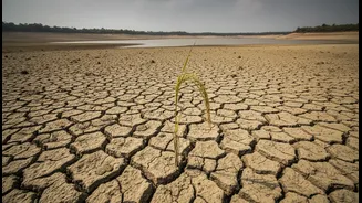
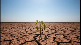
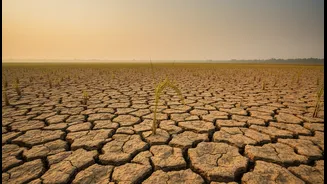
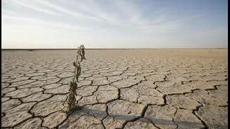
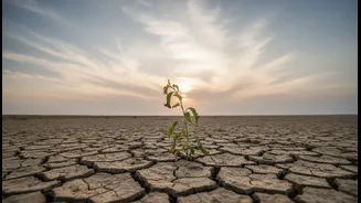
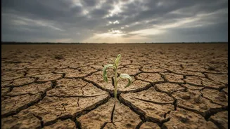
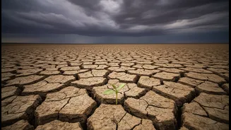
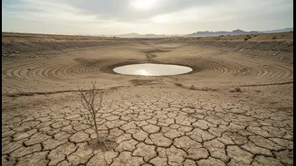
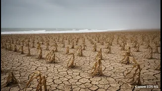
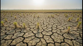
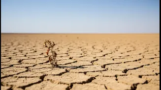
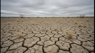
The impact of a faltering monsoon is felt immediately and deeply. For Goa's farmers, the erratic start has been disastrous. The crucial kharif season, when paddy is planted, was thrown into disarray. Many farmers delayed sowing, waiting for enough rain to prepare their nursery beds and fields. Those who did plant their crops were left watching the skies, fearing their seedlings would wither in the parched soil. Beyond the farms, the state's water security is under threat. The weak rainfall has led to dangerously low levels in major reservoirs like the Selaulim and Anjunem dams. In mid-June, officials warned that the state had only about a month's worth of drinking water supply remaining, highlighting the critical need for the monsoon to revive and replenish these vital sources.
An Anxious Wait for Revival
So, what's next? The immediate forecast from the IMD suggests that the current 'dry mode' is likely to continue for a few more days, with only moderate rainfall expected. The systems that drive heavy, sustained rainfall in the region remain weak. While a few days of heavy showers briefly revived spirits and dam levels, the return to a weaker phase shows the season's instability. Farmers and water authorities are in a precarious position, hoping that the latter half of the monsoon season will be strong enough to make up for the current deficit. A failure to do so would not only devastate the current agricultural season but also impact groundwater levels for the rabi (winter) crops and horticulture next year.