


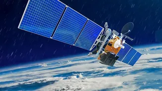

An Unblinking Eye in the Sky
Ground-based environmental monitoring is essential, but it has limitations. A sensor can measure air quality in Delhi, and a researcher can study a specific Himalayan glacier, but neither can see the whole picture at once. Satellites overcome this challenge
by offering a global perspective. They scan vast, remote, and inaccessible areas—from dense rainforests to polar ice caps—with impartial precision. By repeatedly passing over the same locations, they create a continuous and invaluable record of change over decades. This long-term data archive allows scientists to distinguish between short-term fluctuations and significant, long-term trends, providing the hard evidence needed for climate models and environmental policy.
Tracking Our Changing Climate and Weather
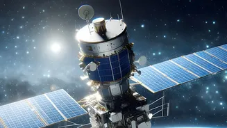
Satellites are our primary tool for watching the effects of climate change unfold in real-time. Missions use instruments like altimeters and radiometers to measure the retreat of glaciers and the thickness of ice sheets, which are crucial indicators of a warming planet. For India, this is vital for monitoring the Himalayan glaciers, whose meltwater feeds the major rivers of the northern plains. Furthermore, satellites like the INSAT series are instrumental in tracking the lifecycle of cyclones in the Bay of Bengal and Arabian Sea, providing the early warnings that save lives. They also monitor sea surface temperatures and cloud patterns, helping to forecast the intensity and distribution of the annual monsoon.
Guarding Our Green Cover and Water Resources
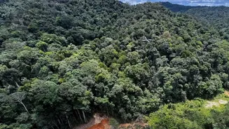
Deforestation and land degradation are major environmental concerns. Satellite imagery allows authorities to monitor forest cover on a massive scale, detecting illegal logging and tracking the effectiveness of reforestation efforts. Specialised sensors can even estimate the amount of carbon stored in forests. In India, this technology is used to monitor everything from forest density to urban sprawl and desertification. Satellites also keep a close watch on our water resources. Missions like the Gravity Recovery and Climate Experiment (GRACE) can track changes in groundwater storage, a critical issue for many parts of India. They also monitor the health and surface area of lakes, reservoirs, and wetlands.
Monitoring the Air We Breathe
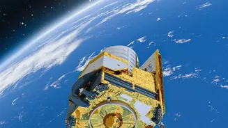
Air pollution is a pervasive problem in many urban centres. While ground stations provide point-specific data, satellites can map air quality across entire regions. Instruments like the TROPOMI on the Sentinel-5P satellite can detect pollutants such as nitrogen dioxide (NO2), sulphur dioxide (SO2), and particulate matter. This allows scientists to track the movement of pollution plumes, identify major emission sources, and analyse long-term trends in air quality, providing crucial information for public health initiatives and environmental regulations.
India's Eyes in the Sky
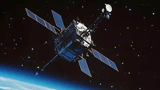
India, through the Indian Space Research Organisation (ISRO), operates one of the world's largest constellations of remote sensing satellites. Beginning with the IRS-1A in 1988, series like Resourcesat, Cartosat, and Oceansat have provided invaluable data for managing the nation's resources. These satellites support a wide range of applications, including crop acreage estimation, water resource management, urban planning, and disaster management support. Moreover, ISRO frequently collaborates with international space agencies, such as with NASA on the NISAR mission, a sophisticated radar satellite designed to monitor changes in Earth's land and ice surfaces with unprecedented detail.