


The Unblinking Eye: Geostationary Satellites
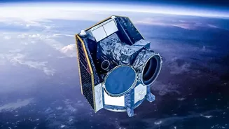
Imagine trying to watch a fast-moving football game by only looking at the field every half hour. You’d miss all the crucial plays. Weather is no different. A geostationary satellite is a meteorologist's equivalent of a dedicated camera with a fixed view.
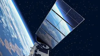
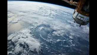
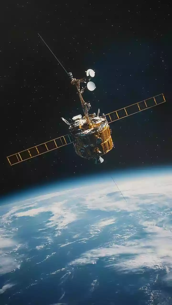
Orbiting at approximately 35,800 kilometres above the Equator, it moves at the exact same speed as the Earth's rotation. This allows it to 'hover' over the same spot, providing a constant, uninterrupted view of a huge portion of the planet. This is different from polar-orbiting satellites, which circle the globe from pole to pole and see a different slice of the Earth with each pass. For tracking weather that develops rapidly in one area, that constant, unblinking gaze is indispensable.
The Challenge: Convective Rain Cells
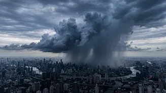
The sudden downpours that drench a single neighbourhood while leaving another completely dry are often caused by 'convective rain cells'. Convection is the process where warm, moist air near the ground rises rapidly, cools, and condenses into a cloud. These cells are like atmospheric popcorn kernels: they can develop, produce intense rain, and then disappear in as little as 30 to 50 minutes. Their small size, typically covering just a few square kilometres, and short lifespan make them incredibly difficult for traditional, large-scale weather models to predict accurately. By the time a model updates, the storm may have already come and gone.
The Power of High-Frequency Scans
This is where geostationary satellites truly shine. Modern satellites, like India's INSAT-3D and INSAT-3DR, can capture high-resolution images of the Indian subcontinent every 15 minutes or even faster. This rapid-scan capability is the key to 'nowcasting'—forecasting the weather for the immediate future. By watching this high-frequency loop of images, meteorologists can see the entire lifecycle of a convective cell. They can spot the initial signs of development, like rapidly cooling cloud tops (which indicates the cloud is growing vertically and getting taller and colder), track its movement, and predict where the heaviest rain will fall with much greater precision. This allows for the timely issuance of warnings for flash floods or severe thunderstorms, which is impossible with less frequent data.
Why Cities Are a Special Focus
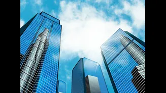
Cities create their own microclimates. The vast expanses of concrete and asphalt absorb more solar radiation, creating what is known as an 'urban heat island' effect, where the city is significantly warmer than the surrounding rural areas. This extra heat can act as a trigger, providing more energy to fuel convection and potentially making thunderstorms over or downwind of the city more intense. Studies have shown that rainfall can be significantly higher in and around major urban centres. The complex airflow around tall buildings can also influence storm behaviour. Geostationary satellite imagery allows forecasters to monitor these urban hotspots and observe how storms evolve as they interact with the unique city environment.
From Raw Data to Public Warning
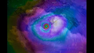
The satellite doesn't just send pretty pictures. Instruments like imagers and sounders collect data across various channels, including visible light and infrared, to measure cloud-top temperature, water vapour content, and other atmospheric properties. Meteorologists are trained to interpret these data signatures. For example, a very cold cloud top on an infrared image is a strong indicator of a powerful storm with the potential for heavy rain and hail. By combining this satellite data with radar information and computer models, forecasters can build a comprehensive, three-dimensional picture of the storm, leading to more accurate and timely warnings that help protect lives and property in our increasingly populated urban centres.