



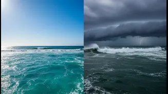


The Planet's Most Powerful Climate Cycle
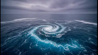
At its heart, the system is a massive, irregular sloshing of warm water in the tropical Pacific Ocean. This cycle is officially known as the El Niño-Southern Oscillation, or ENSO. It operates in three phases: El Niño (the warm phase), La Niña (the cool
phase), and a neutral phase in between. This oscillation between warm and cool sea surface temperatures is so vast that it disrupts atmospheric circulation across the globe, influencing everything from rainfall in India to hurricane season in the Atlantic. Because these events can often be predicted seasons in advance, they are one of the most critical tools meteorologists have for long-range forecasting.
El Niño: The Warm Phase
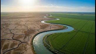
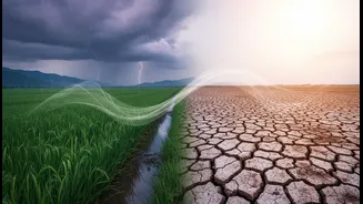
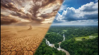
During an El Niño, trade winds that typically blow from east to west along the equator weaken. This allows the massive pool of warm surface water that is normally pushed towards Asia to shift eastward, towards the coast of South America. This warming of the central and eastern Pacific Ocean might seem distant, but its effects are global. The warm water releases immense heat and moisture into the atmosphere above it, altering the jet stream and shifting weather patterns. For India, El Niño is often bad news. It is historically linked to a weaker southwest monsoon, leading to reduced rainfall and potential drought conditions that can strain agriculture and water resources.
La Niña: The Cool Phase
La Niña is essentially the opposite of El Niño. During this phase, the east-to-west trade winds become stronger than usual. This pushes more warm surface water towards Asia and allows cool, deep ocean water to rise to the surface in the eastern Pacific. This widespread cooling also changes global atmospheric patterns, but with different outcomes. For India, La Niña is typically beneficial for the monsoon. The conditions generally promote stronger monsoon winds and are associated with normal or above-normal rainfall, as seen during the La Niña years of 2020, 2021, and 2022. This can boost crop yields and replenish reservoirs, although it can also increase the risk of flooding in some areas.
Why ENSO is Key to Seasonal Forecasts
Forecasting weather is a science of probabilities. While daily forecasts focus on immediate atmospheric conditions, seasonal forecasts look for larger, slower-moving drivers of climate. ENSO is the most significant of these drivers. By monitoring sea surface temperatures in the Pacific, forecasters can anticipate how atmospheric circulation will change in the coming months. For example, the development of a strong El Niño, like the one forecast to intensify through late 2026, gives forecasters high confidence in predicting outcomes like below-normal rainfall for the Indian subcontinent. This advanced warning is crucial, allowing governments and industries like agriculture to prepare for potential challenges, from managing water supplies to adjusting crop planting strategies.
More Than a Simple Switch
It's important to remember that the El Niño-monsoon relationship isn't a perfect one-to-one correlation. While El Niño years often result in drought, some have produced average or even above-average rainfall. The intensity of the El Niño matters, as does the specific location of the warmest water in the Pacific. Furthermore, other climate phenomena, like the Indian Ocean Dipole (IOD)—a similar temperature variation in the Indian Ocean—also play a crucial role in the monsoon's performance. A positive IOD, for instance, can sometimes counteract the negative effects of an El Niño. Forecasters must analyze all these complex interactions to build the most accurate seasonal outlook possible.