

The GPS Problem
On Earth, navigation is a solved problem for most. We pull out our phones, and a constellation of Global Positioning System (GPS) satellites tells us exactly where we are. The Moon, however, has no such system. Future concepts like LunaNet aim to create
a lunar communications and navigation network, but the first waves of robotic builders and explorers must operate without this convenience. They need to chart their course across a hazardous, unmapped, and often poorly lit environment on their own. This is especially true in the permanently shadowed regions of the lunar poles, which are prime targets for exploration due to the potential for water ice but exist in perpetual darkness.
Navigating by Sight and Feel
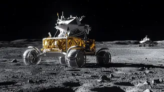
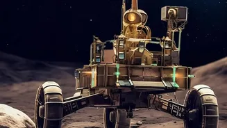
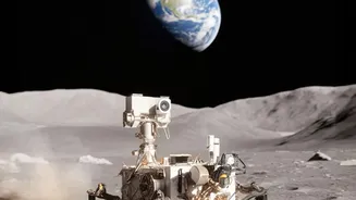
The most fundamental solution is a technique that combines two systems: visual odometry and an Inertial Measurement Unit (IMU). Think of it as navigating by sight and feel. Stereo cameras, the 'eyes' of the rover, take continuous pictures of the terrain. By comparing successive images, the robot can calculate how far it has moved and in what direction. Simultaneously, the IMU acts like the robot's inner ear, measuring acceleration and rotation. By fusing the data from what it 'sees' with what it 'feels', the rover can get a surprisingly accurate estimate of its travel. NASA's VIPER rover, designed to hunt for water at the Moon's South Pole, heavily relies on this method, using its own headlights to see in the pitch-black craters.
Building the Map As You Go
A more advanced technique, often used alongside visual odometry, is called Simultaneous Localization and Mapping, or SLAM. As the name suggests, the robot does two things at once: it builds a 3D map of its surroundings using sensors like LiDAR or stereo cameras, and at the same time, it tracks its own position within that map it is creating. It’s like an explorer drawing a map of a new cave while constantly marking an 'X' for their current location. This is computationally intensive but incredibly powerful. It allows a robot to enter a completely unknown area, create a detailed map, and always know its position relative to the features it has already mapped, like craters and boulders. This method is critical for creating the first reliable maps of lunar work sites.
Looking to the Heavens
Sometimes, the oldest methods are the most reliable. Just as ancient mariners used the stars to navigate, lunar rovers can use celestial bodies for guidance. The Sun is a constant, reliable reference point. By using a simple sun sensor, a rover can determine its heading with great accuracy. Similarly, a star tracker can be used to determine the rover's orientation. During the Apollo missions, astronauts used a sextant to sight stars and horizons to verify their position. Modern rovers will do this automatically. This method doesn't tell a rover its precise coordinates on a map, but it provides a crucial and unjammable sense of direction, preventing the robot from getting turned around and helping to correct drift from other sensor systems.
The Power of Fusion
No single navigation method is perfect. Visual systems can be confused by the bizarre lighting conditions and lack of features on the Moon. IMUs accumulate small errors over time. That's why the true key to lunar navigation is sensor fusion. The rover's onboard computer constantly takes in data from every available source—cameras, LiDAR, IMUs, wheel encoders, and star trackers—and intelligently combines it. Algorithms weigh the data from each sensor, cross-check it against the others, and produce a single, highly reliable estimate of the rover's position and orientation. This creates a system that is more robust and accurate than any of its individual parts, a critical requirement for the robots that will lay the foundation for humanity's future on the Moon.