







An Eye in the Sky Like No Other
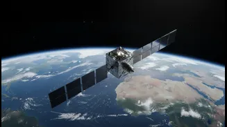
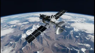
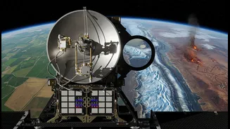
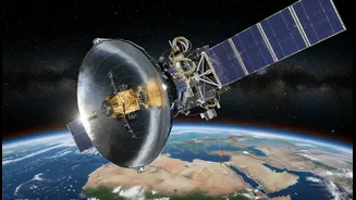
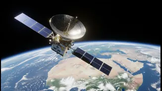
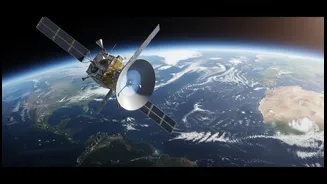
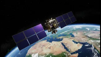
NISAR, which stands for NASA-ISRO Synthetic Aperture Radar, is the most expensive Earth-imaging satellite ever built, a testament to its incredible capabilities. Launched in July 2025, this joint mission is a partnership where both space agencies contributed
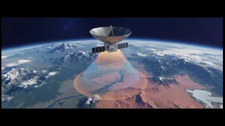
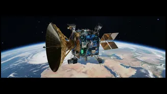
key components. ISRO provided the satellite bus, the S-band radar system, and the powerful GSLV launch vehicle, while NASA provided the L-band radar and a massive 12-metre-wide reflector antenna. Orbiting the Earth every 12 days, NISAR scans nearly the entire planet, creating an unprecedented and incredibly detailed map of our changing world.
The Power of Seeing Through Walls
What makes NISAR so special is its use of dual-frequency radar. Unlike traditional optical satellites that are blinded by clouds or darkness, NISAR's Synthetic Aperture Radar (SAR) can see through them. It uses two different radar frequencies, L-band and S-band. The L-band, with its longer wavelength, can penetrate forest canopies to see the ground beneath, while the S-band is excellent for observing soil moisture and other surface details. This dual-vision approach allows the satellite to detect changes on the Earth's surface as small as a single centimetre, making it a game-changer for Earth observation.
From Data to Disaster Response
For a country like India, which frequently faces floods, earthquakes, landslides, and cyclones, NISAR’s capabilities are revolutionary. The satellite can monitor the slow, almost imperceptible ground deformation that precedes earthquakes and volcanic eruptions. In the Himalayas, it can track changes in glaciers and snowpack, providing early warnings for potential landslides or glacial lake outburst floods. During cyclones and floods, NISAR can see through the dense cloud cover to map the extent of inundation, even in forested or cropped areas, allowing for more effective rescue and relief operations. Crucially, all NISAR data is made freely available within hours for emergencies, ensuring that response teams get critical information when they need it most.
More Than Just Disasters
While disaster management is a headline application, NISAR's benefits for India extend much further. Its ability to monitor soil moisture and crop health will be invaluable for the country's agricultural sector, leading to smarter farming practices and better food security. The mission will also track groundwater levels, helping manage this critical resource in a sustainable way. By monitoring changes in forests, wetlands, and coastlines, NISAR will provide vital data for environmental protection and climate change mitigation efforts. From tracking oil spills to managing urban subsidence, the applications are vast and transformative.
A Landmark Global Collaboration
The NISAR mission represents more than just technological advancement; it's a model of international scientific collaboration. Born from a partnership signed in 2014, it brings together the expertise of two of the world's leading space agencies to address global challenges. The mission's policy of open data access democratises vital information, empowering scientists, governments, and organisations across the world to build resilience against environmental threats. For India, this partnership not only enhances its domestic capabilities but also solidifies its position as a major player in global space governance and Earth sciences.