



Beyond Yesterday's Forecasts
For decades, infrastructure planning in India relied on historical rainfall averages and broad weather forecasts. A colony designed in 1980 might have assumed a certain level of rainwater runoff, but rapid urbanisation has rendered those assumptions obsolete.
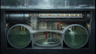
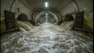
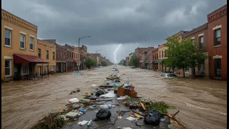
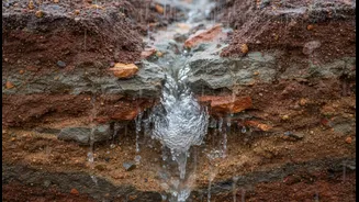
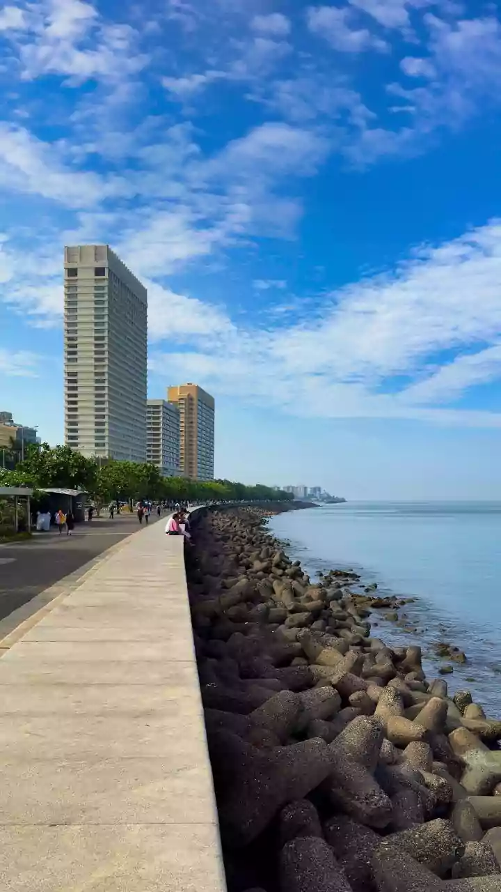
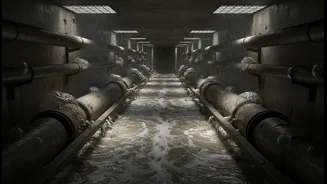
Today, concretisation prevents water from being absorbed into the ground, and old drainage networks are often undersized for the sheer volume of water from increasingly frequent and intense downpours. The result is all too familiar: widespread waterlogging in cities like Mumbai, Chennai, and Bengaluru that paralyses daily life and causes significant economic damage. The simple knowledge that it will rain is no longer enough; the critical question is precisely where, when, and how much.
The New Science of Rain Prediction
Enter the era of high-resolution, data-driven forecasting. Instead of city-wide predictions, new technologies are providing hyperlocal insights. Research institutions and meteorological bodies are deploying a combination of Doppler radars, satellite imagery from ISRO missions, and a dense network of automated rain gauges. This data feeds into powerful Artificial Intelligence (AI) and Machine Learning (ML) models that can predict rainfall with greater accuracy, sometimes down to a neighbourhood level. Hybrid deep learning models, for instance, are being trained on years of flood data to recognise both the timing and spatial patterns of extreme weather events, drastically improving lead times for warnings.
From Data to Drains and Digital Twins
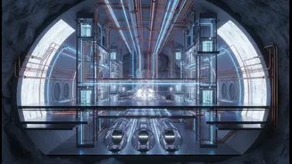
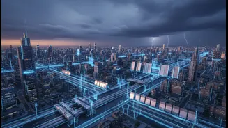
This advanced research is directly influencing how cities manage floods. The most transformative application is the creation of 'Digital Twins'—highly detailed, real-time virtual replicas of entire cities. Mumbai, in collaboration with IIT Bombay, launched a 3D Digital Twin in 2025 that integrates live rainfall forecasts, tidal data, and IoT sensor information from its drainage network. This allows the Brihanmumbai Municipal Corporation (BMC) to simulate flood scenarios, predict waterlogging in critical areas like Sion and Kurla up to 48 hours in advance, and preemptively deploy pumps or reroute traffic. Similarly, Gorakhpur has implemented an AI-based system that has achieved over 80% accuracy in its 24-hour forecasts, allowing officials to move from a reactive to a proactive stance. This data allows planners to test solutions virtually, identifying where to widen drains or build retention ponds before a single brick is laid.
Building for a Changing Climate
This integration of research goes beyond immediate flood control; it's about long-term climate resilience. Planners are now urged to design for 2050 climate projections, not past averages. Policies like the National Action Plan on Climate Change (NAPCC) and missions like AMRUT are increasingly, though not always explicitly, pushing for climate-resilient development. This means not only building better storm-water drains but also incorporating 'blue-green infrastructure' like rain gardens, permeable pavements, and urban forests that absorb excess water and reduce heat. The goal is to create 'sponge cities' that can manage rainwater effectively, turning a potential disaster into a managed resource through better groundwater recharge and harvesting.
Challenges on the Road Ahead
The transition is not without hurdles. Implementing these high-tech systems is expensive and requires significant technical expertise. There's also a need for better coordination between different government departments—from road construction to water management—that often work in silos. Furthermore, much of the integration of climate risk into planning is still policy-driven rather than legally mandated, leading to inconsistent application across states and cities. For this revolution to be truly effective, it requires sustained investment, political will, and a fundamental shift in updating old building codes and planning frameworks to match the pace of scientific advancement and urban growth.