






What Exactly is GRITSS?
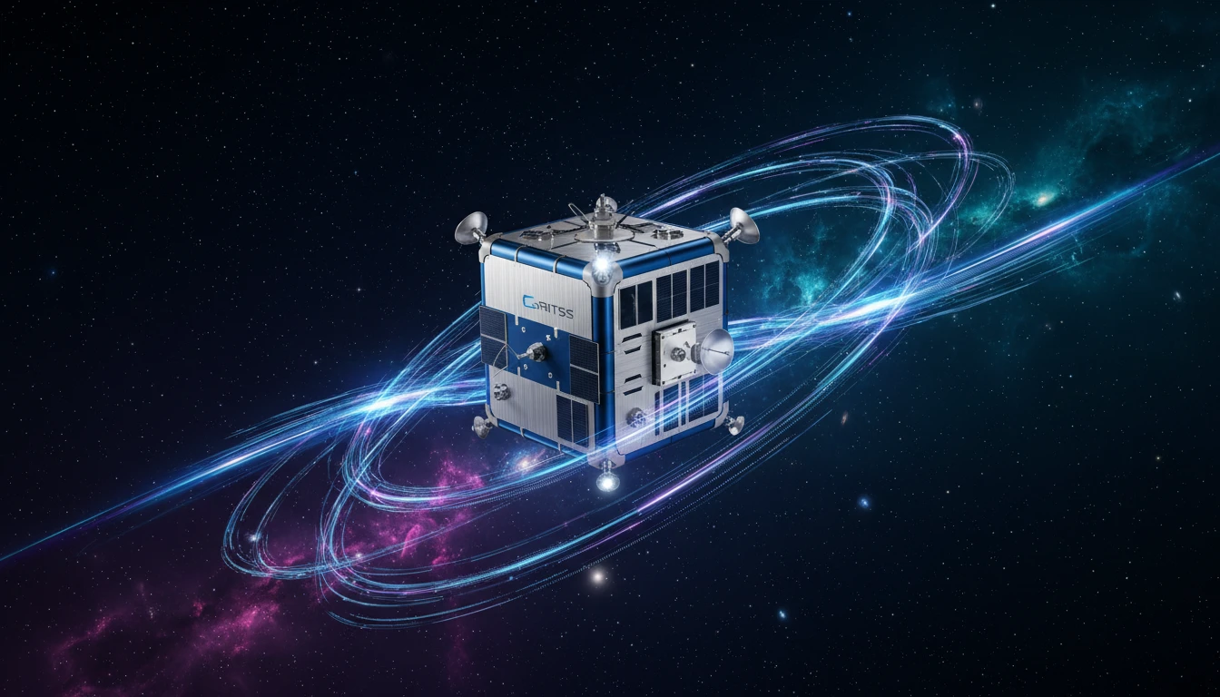
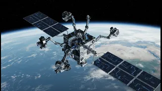
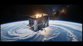
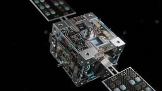
GRITSS, which stands for Geodetic Reference Instrument Transponder for Small Satellites, is a technology demonstration mission led by NASA in partnership with the University of Massachusetts Lowell and the Dutch aerospace company ISISPACE. At its heart
is a clever, suitcase-sized satellite called a CubeSat that was successfully launched into orbit on July 7, 2026. Its core job is to solve a long-standing, nagging problem for scientists who measure our planet: how to perfectly sync up different ways of seeing the Earth. For decades, we've used three main techniques: Satellite Laser Ranging (SLR), Very Long Baseline Interferometry (VLBI) radio telescopes, and the Global Navigation Satellite System (GNSS), which includes GPS. While powerful, these systems operate independently, and tiny but significant millimeter-level errors creep in when scientists try to combine their data. GRITSS acts as a universal translator in space, creating a single reference point that all three systems can see at the same time, allowing their data to be stitched together seamlessly.
The Foundation of a Better World Map
The ultimate goal of GRITSS is to dramatically improve the International Terrestrial Reference Frame (ITRF). Think of the ITRF as the planet's master blueprint—a hyper-accurate 3D coordinate system with its origin point at the Earth's precise center of mass. This framework is what allows us to track everything with certainty, from the slow drift of continents to the exact location of your smartphone. Historically, linking the different measurement networks that feed the ITRF required ground-based surveys, which introduced those small errors. By creating a single, stable target in space for all systems to lock onto, GRITSS aims to eliminate these 'site tie' errors and help achieve the goal of a reference frame accurate to within a single millimeter.
Sharpening Our View of a Changing Climate
A more precise ITRF has profound implications for climate science. Many of the most critical environmental challenges, like rising sea levels, melting ice sheets, and shifting groundwater resources, involve measuring incredibly small changes over vast areas. An ultra-stable reference frame allows scientists to better differentiate between these interconnected phenomena. For example, it helps them separate the signal of a coastline sinking from the signal of the ocean rising. By improving the accuracy of this foundational grid, data enhanced by GRITSS will allow for more reliable monitoring of the planet’s freshwater distribution, a better understanding of complex ocean-climate cycles like El Niño, and ultimately, the creation of more dependable models of future climate impacts.
A New Benchmark for Navigation
The benefits of a more accurate global grid extend directly to the navigation systems we use every day. Every GPS or GNSS device, whether in a car, ship, or airplane, relies on the ITRF as its base truth. By refining this framework, GRITSS provides a more stable and reliable foundation for all positioning, navigation, and timing services. For applications that demand centimeter-level precision—such as autonomous vehicles, precision agriculture, and the monitoring of critical infrastructure like dams and bridges—every millimeter of error matters. The GRITSS mission also involves a geodetic-quality GPS receiver compact enough for small satellites, paving the way for future low-Earth orbit constellations that can map the planet's shape and movements with even greater accuracy.
From Launch to a New Standard
Launched aboard a SpaceX rocket, the GRITSS CubeSat is now in the early phases of its mission, with operators establishing contact and beginning system checkouts. A key engineering challenge was ensuring the satellite's internal timing doesn't fluctuate by more than one-trillionth of a second as it passes between the heat of the Sun and the cold of Earth's shadow. To achieve this, engineers implemented advanced thermal controls to keep the satellite's internal temperature stable to within a single degree Celsius. As the mission progresses, it will demonstrate how this integrated approach can transform an innovative concept into a new standard for Earth observation, providing a unified view of our planet that is more accurate than ever before.