



The Pacific's Powerful Climate Engine
At the heart of it all is a natural cycle called the El Niño-Southern Oscillation (ENSO). Think of it as a massive see-saw in the tropical Pacific. In a normal, or 'neutral,' phase, strong trade winds blow from east to west, pushing warm surface water
towards Asia and Australia. This allows cooler, nutrient-rich water to rise up along the coast of South America. This pattern establishes a predictable atmospheric circulation that helps drive weather systems globally, including the Indian monsoon. El Niño and La Niña are the two extreme phases of this cycle, each lasting around nine to twelve months and typically occurring every two to seven years.
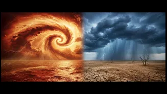
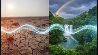
El Niño: The Warm Phase and Drier Days
El Niño, which means 'the little boy' in Spanish, is the 'warm phase' of the ENSO cycle. During an El Niño event, the trade winds blowing across the Pacific weaken or even reverse. This causes the massive pool of warm water normally in the western Pacific to slosh back eastward, towards South America. This significant shift in ocean heat disrupts the atmosphere above it. For India, this disruption is critical. It typically weakens the atmospheric pressure differences that drive the southwest monsoon winds. The result is often a weaker, more erratic monsoon with reduced rainfall, leading to a higher probability of drought conditions, particularly in central and peninsular India. Historically, a majority of India's drought years have coincided with El Niño events.
La Niña: The Cool Phase and Monsoon Bounty
La Niña, or 'the little girl,' is the opposite of El Niño and is known as the 'cool phase'. During a La Niña event, the trade winds become even stronger than usual, pushing more warm water toward Asia and allowing a greater upwelling of cold water in the eastern Pacific. This intensifies the normal atmospheric circulation. For India, this is generally good news. The strengthened pattern supports a robust monsoon, often leading to average or above-average rainfall across the country. While this is a boon for agriculture and replenishing water reservoirs, a strong La Niña can also increase the risk of heavy flooding.
Beyond the Monsoon: Winter Chills and Cyclones
The influence of ENSO extends beyond the June-to-September monsoon. La Niña, for instance, is often linked to colder-than-normal winters in India. The pattern can help channel cold air from Siberia and South China further South into the subcontinent. El Niño, on the other hand, is associated with warmer winter temperatures. The frequency and intensity of cyclones can also be affected. A positive Indian Ocean Dipole (IOD), which sometimes occurs with El Niño, can lead to more cyclones than usual in the Arabian Sea.
A Complicated Relationship
While the link is strong, it's not a perfect one-to-one relationship. An El Niño does not automatically guarantee a drought in India, nor does a La Niña ensure a flood. Other climate phenomena play a crucial role, most notably the Indian Ocean Dipole (IOD). The IOD is the Indian Ocean's own version of the ENSO cycle, involving temperature differences between the western and eastern parts of the ocean. A 'positive' IOD, with warmer waters in the western Indian Ocean, can help boost the monsoon and sometimes counteract the negative effects of an El Niño, as seen in years like 1997. Conversely, a 'negative' IOD can worsen an El Niño-induced drought. This complex interplay means forecasters must watch both the Pacific and Indian Oceans to get a clearer picture of the coming season.