




A View From Above
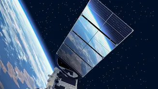
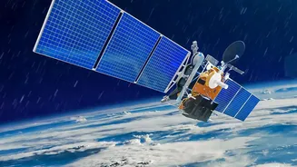
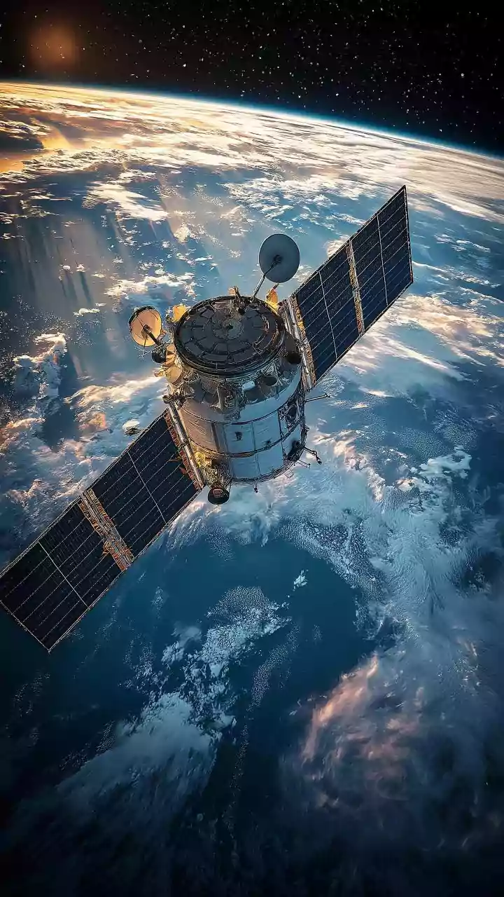
Modern weather forecasting relies on a constant stream of data, and Earth observation satellites are the most critical source. Orbiting hundreds of kilometres above us, these satellites carry sophisticated instruments that act like advanced cameras. They
don't just take simple pictures; they 'see' in different wavelengths, including visible light, infrared, and microwave. This allows them to measure key atmospheric variables like cloud-top temperature, the amount of water vapour in the air, and even the vertical structure of a storm. Unlike ground-based radar, which is limited by distance and terrain, satellites provide comprehensive coverage over vast areas, including oceans where many weather systems originate.
The Urban Forecasting Challenge
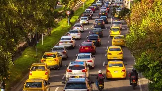
Predicting rain is hard, but predicting it over a specific city is even harder. Urban areas create their own microclimates. The phenomenon known as the 'Urban Heat Island' effect means cities are often significantly warmer than their rural surroundings because concrete and asphalt absorb more heat. This pocket of warm air tends to rise, interacting with moisture and sometimes intensifying rainfall downwind of the city centre. Furthermore, the physical barrier of tall buildings can alter wind patterns, creating zones of air convergence that can trigger or strengthen storms. These complex, localised factors make it incredibly difficult for standard weather models to achieve pinpoint accuracy for a single neighbourhood.
From Data Points to Downpour Alerts
So how does a satellite's view turn into a useful forecast? The raw data on temperature, humidity, and cloud formation is fed into powerful computer models called Numerical Weather Prediction (NWP) systems. These models use complex mathematical equations based on the laws of physics to simulate how the atmosphere will behave over the coming hours and days. By combining the continuous, large-scale observations from satellites with on-the-ground data, these models can generate increasingly precise forecasts. For urban areas, this process, known as data assimilation, allows forecasters to better account for the local variables and issue more accurate, timely warnings for heavy precipitation and potential flash floods.
India's Eyes in the Sky
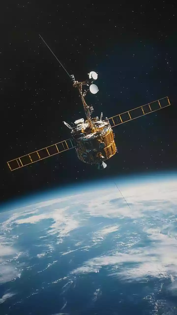
For India, with its complex monsoon patterns and rapidly growing cities, satellite technology is indispensable. The Indian Space Research Organisation (ISRO) operates a series of meteorological satellites, including the INSAT series, specifically for this purpose. Satellites like INSAT-3D and the recently launched INSAT-3DS are equipped with advanced imagers and sounders that provide high-resolution data on atmospheric conditions over the subcontinent. This information is crucial for the India Meteorological Department (IMD) to track cyclones, monitor the monsoon's advance, and issue warnings that save lives and protect property, from coastal villages to the bustling streets of Mumbai and Chennai.
Weather Today, Climate Tomorrow
The data collected by these satellites does more than just predict tomorrow's weather. When compiled over decades, this information creates a long-term, consistent record of our planet's behaviour. Scientists use this vast archive to verify and improve climate models, which are simulations that project how our climate may change in the future. By tracking trends in rainfall intensity, temperature, and storm frequency over many years, satellite data provides undeniable evidence of long-term climate shifts. This helps us understand not just the daily weather forecast, but the broader changes happening to our world and what we might expect in the decades to come.