






The Pacific's Global Puppeteers
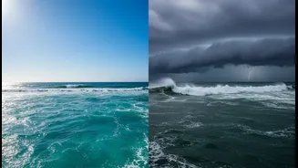
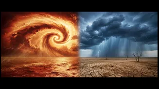
El Niño and La Niña are two opposing phases of a natural climate cycle called the El Niño-Southern Oscillation (ENSO). Think of it as a giant oceanic see-saw in the tropical Pacific. This cycle irregularly shifts every two to seven years, influencing
weather patterns across the globe. At its core, ENSO involves fluctuations in sea surface temperatures and the overlying atmospheric pressure, creating a chain reaction that reaches all the way to the Indian subcontinent. There's also a middle, or “neutral,” phase where ocean temperatures are near average.
El Niño: The Warm Phase
El Niño, which means “the little boy” or “Christ child” in Spanish, occurs when the surface water in the central and eastern Pacific Ocean becomes unusually warm. This happens because the normal easterly trade winds, which blow from east to west, weaken. This change disrupts the typical atmospheric circulation, shifting rainfall patterns. For India, this disruption often means bad news for the summer monsoon. The altered wind patterns can suppress the moisture-laden winds that are vital for India's June-to-September rainy season.
El Niño's Impact on India's Summer
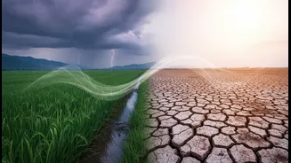
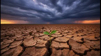
Historically, El Niño years have a strong correlation with weaker monsoons and even drought conditions in India. A deficient monsoon can have severe consequences, affecting everything from crop production for staples like rice and sugarcane to the availability of drinking water in reservoirs. This can lead to stress on the agricultural sector and potentially drive up food prices. However, the relationship isn't a perfect one-to-one. Not every El Niño year results in a drought; sometimes other atmospheric factors can counteract its influence. For example, the strongest El Niño of the 20th century, in 1997-98, still resulted in an above-average monsoon.
La Niña: The Cool Counterpart
La Niña, or “the little girl,” is the opposite of El Niño. During a La Niña event, the trade winds become stronger than usual, pushing more warm water toward Asia and causing cool, deep ocean water to rise to the surface in the eastern Pacific. This cooling of the ocean surface has its own distinct, and often opposite, effect on global weather. For India, La Niña's influence is generally favourable. The strengthening of the normal circulation patterns tends to enhance the monsoon winds, bringing more moisture to the subcontinent.
How La Niña Boosts the Monsoon
In stark contrast to El Niño, La Niña years are typically associated with normal or even above-normal rainfall during India’s summer monsoon. This can lead to bountiful harvests and healthy reservoir levels across most of the country. While this is generally positive for agriculture, very strong La Niña events can also increase the risk of flooding in some areas. It also has other effects, such as potentially leading to colder winters in North India and influencing the number of cyclones in the Bay of Bengal post-monsoon.
A Complex and Shifting Relationship
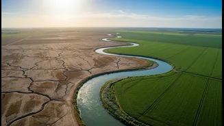
While El Niño often means less rain and La Niña means more, it's not always so simple. Other factors, like the Indian Ocean Dipole (IOD)—a similar temperature see-saw in the Indian Ocean—can either amplify or dampen ENSO's effects. A "positive" IOD can sometimes help offset the negative impacts of an El Niño. Furthermore, recent studies suggest the impact of ENSO is not uniform across India, with its influence being stronger in North and South India and weaker in the central 'core monsoon zone' in recent decades. This complexity is why scientists continuously monitor these patterns to refine seasonal forecasts.