




The Challenge of Big Data from Space
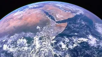
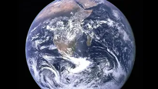
For decades, satellites have been our eyes in the sky, collecting billions of records on everything from melting glaciers to urban expansion. This has created one of the world's largest collections of Earth science information. However, the sheer volume
of this data presents a monumental challenge. Sifting through petabytes of information to find meaningful patterns is incredibly time-consuming, and often impossible for human analysts alone. Important, subtle changes can get lost in the noise, and by the time data is downloaded and processed, the opportunity to react to short-lived events like wildfires or floods may have passed. This data logjam has been a major bottleneck in climate research, limiting our ability to use this invaluable information to its full potential.
AI Foundation Models: A New Approach
To solve this problem, NASA has partnered with technology leaders like IBM to develop a new generation of AI known as 'foundation models'. Think of a foundation model as a highly versatile baseline, pre-trained on vast, unlabeled datasets. For example, the Prithvi model, whose name is the Sanskrit word for Earth, was trained on years of NASA satellite imagery. Once this foundation is built, it can be quickly fine-tuned with smaller, specific datasets to perform a wide range of tasks, like detecting burn scars from fires, identifying floodwaters, or mapping crops. This approach is a significant leap forward from older AI systems that needed to be built from scratch for each specific problem. By creating open-source foundation models, NASA is accelerating research and allowing scientists everywhere to build on their work.
Putting Intelligence into Orbit
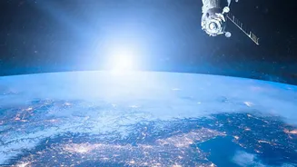
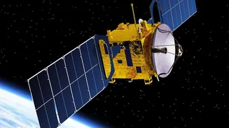
One of the most groundbreaking developments is deploying these AI models directly onto satellites. In a recent milestone, a compressed version of the Prithvi model was successfully run on a payload aboard the International Space Station and another satellite. This allows for advanced analysis to be performed in orbit before the data is ever sent back to Earth. Instead of beaming down raw, unprocessed imagery—much of which might be obscured by clouds—the satellite can process it onboard, identify key events, and send back only the most relevant, actionable insights. This capability, sometimes called 'Dynamic Targeting', allows a satellite to autonomously decide what to focus on, such as spotting a volcanic eruption or wildfire and immediately targeting its instruments for a closer look, all without human intervention.
Real-World Impact and Future Predictions
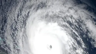
The applications of this technology are vast and transformative. Onboard AI can help satellites predict weather with greater accuracy, track the intensity of hurricanes, and give farmers crucial information for managing crop yields. It can monitor air quality, the health of forests, and the extent of marine pollution with unprecedented speed. Some models are even being designed to allow operators to interact with the satellite using natural language, asking questions about the data it's seeing. Looking ahead, this technology promises not just to monitor the changes happening to our planet, but to predict them. AI models are being trained to forecast long-range weather events and identify areas at high risk for climate-related disasters, offering a powerful tool for preparedness and saving lives.