




A New Sentinel in Orbit
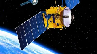
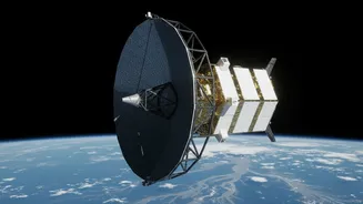
At the heart of this transformation is the NASA-ISRO Synthetic Aperture Radar (NISAR) mission. This joint Earth-observation satellite, launched in July 2025, is one of the most sophisticated and expensive of its kind. Its purpose is to scan our planet's
surface with unprecedented detail, and for India, its implications for disaster management are enormous. Unlike traditional optical satellites that are essentially cameras in space, NISAR uses a powerful radar system. This allows it to see through clouds, smoke, and the dark of night—conditions that often accompany major flooding events and render other satellites useless. The satellite orbits Earth every 12 days, creating a consistent and reliable stream of data to monitor changes on the ground.
The Power of Radar Vision
The key technology is Synthetic Aperture Radar, or SAR. NISAR is the first satellite to use two different radar frequencies, L-band and S-band, which were developed by NASA and ISRO respectively. This dual-frequency capability allows it to not only map the extent of floodwaters but also to see what’s happening beneath the surface. For example, it can detect water in heavily forested areas where floods might otherwise go unseen, a critical capability for regions like Assam. The radar signals bounce off the Earth and return to the satellite, carrying detailed information about the landscape. By comparing images taken before and during a flood, scientists can create incredibly precise maps of inundated areas, right down to changes of a few centimetres in water level. This helps authorities understand the true scale of a disaster in near real-time.
From Raw Data to Lifesaving Action
Having powerful technology in space is only half the battle; the real value lies in turning its data into actionable intelligence. Data from NISAR's S-band radar is received and processed at ISRO's National Remote Sensing Centre. Since July 2026, this data has been made publicly available through ISRO's 'Bhoonidhi' portal, allowing scientists, disaster management agencies, and researchers across the country to access it. During emergencies, this data can be processed and distributed within hours. This rapid turnaround allows for faster and more effective response on the ground. Teams can identify the worst-hit areas, plan evacuation routes, and direct resources where they are needed most, moving from a reactive stance to a proactive one.
A Glimpse of the Future in Assam
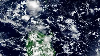
The satellite's potential is already being seen. In July 2026, as Assam battled severe floods, NISAR captured detailed images of the mighty Brahmaputra river. These images revealed the river's complex network of channels and showed the extent of flooding with remarkable clarity. For a state where the Brahmaputra constantly erodes its banks and changes course, this kind of regular monitoring is revolutionary. It provides an unprecedented view that helps scientists and disaster managers track erosion, understand how floods progress, and ultimately build better models for future preparedness. It’s a tangible example of how this mission is moving beyond scientific theory and into practical application that can safeguard lives and livelihoods in India's most vulnerable regions.
A Landmark Global Collaboration
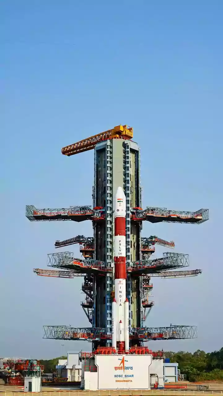
The NISAR mission represents more than just a technological leap; it's a testament to the power of international collaboration in tackling shared global challenges like climate change. This partnership, a decade in the making, saw NASA provide the L-band radar and other key components, while ISRO contributed the spacecraft itself, the S-band radar, and the launch vehicle. The result is a tool that benefits not just India and the U.S., but the entire global community, with all data being made freely available. By combining their expertise and resources, the two space agencies have created a system that will enhance our understanding of Earth’s ecosystems, natural hazards, and the impacts of a changing climate for years to come.