







The Limits of High-Level Data
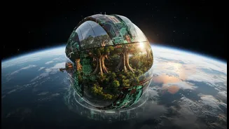
Modern climate science is a marvel of technology. Satellites and sensors collect vast amounts of data, feeding complex models that predict global and regional trends. This top-down view is crucial for understanding the scale of the climate crisis. However,
these models often miss the nuances of a specific hillside, river valley, or coastal village. A satellite can map forest cover, but it cannot tell you which plants are resilient to drought, which streams are sacred, or how local communities have managed resources sustainably for centuries. This is the critical data gap that purely technological approaches can struggle to fill, sometimes leading to solutions that are disconnected from the realities on the ground.
The Power of Traditional Knowledge
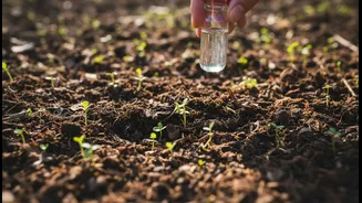
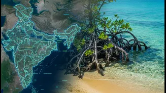
Across India, from the high Himalayas to the coasts of the Sundarbans, local and indigenous communities possess what is known as Traditional Ecological Knowledge (TEK). This is a living library of information, passed down through generations, about the intricate workings of a particular place. It includes a deep understanding of weather patterns, biodiversity, water sources, and sustainable agricultural practices. For centuries, this knowledge has been the basis for community resilience, enabling people to adapt to environmental changes. However, this invaluable expertise has often been dismissed as unscientific or anecdotal by formal institutions.
A New, Hybrid Approach
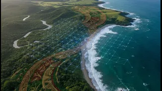
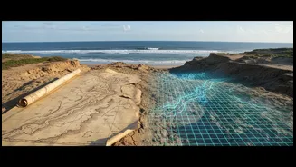
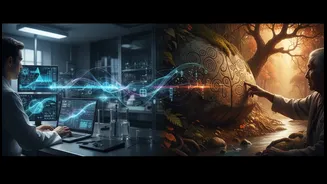
The most exciting new research marries these two powerful ways of knowing. The method, often called Participatory Geographic Information Systems (PGIS), brings scientists and community members together to co-create detailed, layered maps. Researchers provide the technological framework—satellite imagery and GIS software—while local experts provide the essential ground-truth and context. For example, pastoralists in Kenya have used this method to map traditional grazing routes and water points onto digital maps, making their customary land use visible to government planners. In this process, community members are not just passive subjects; they are active partners in the research, shaping the data and the conclusions.
More Than Just a Better Map
The benefits of this blended approach go far beyond creating a more accurate map. When communities are involved in the mapping process, the resulting climate adaptation strategies are more effective and culturally appropriate. This collaborative approach builds trust and ensures that local priorities are at the centre of planning. It empowers communities, giving them a powerful tool to advocate for their needs and protect their resources. Studies show that integrating TEK can lead to better biodiversity conservation, more sustainable resource management, and more just climate policies. It transforms climate action from something imposed from the outside to a project of shared ownership and stewardship.
Challenges and the Path Forward
Integrating these different knowledge systems is not without challenges. There are ethical considerations around data ownership and the risk of exploiting traditional wisdom. There is also a generational crisis, as younger members of communities migrate to urban areas, threatening the transfer of this invaluable knowledge. To move forward, policymakers must formally recognise TEK as a legitimate and necessary component of climate science. This involves creating legal protections for indigenous intellectual property, funding community-led documentation projects, and embedding this collaborative spirit into all levels of environmental governance. The goal is not for one knowledge system to replace the other, but for them to work in concert, creating a more holistic and resilient whole.