





A Constant Eye in the Sky
Most Earth observation satellites orbit the planet in a Low Earth Orbit (LEO), passing over a specific location only at certain times. A geostationary satellite is different. It is placed at a much higher altitude of about 36,000 kilometres and moves
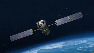
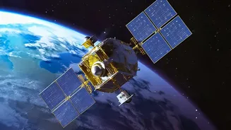
at a speed that matches Earth's rotation. This makes it appear stationary from the ground, allowing it to observe a large, continuous area. Placing a powerful imaging system on such a satellite transforms it into a persistent monitoring tool, a game-changer for a country like India. Instead of getting snapshots, ISRO can get a continuous video feed of weather patterns, land use, and more.
The Mission's Core Objectives
The primary goal of a GISAT-class satellite is to provide near real-time imaging of the Indian landmass and surrounding oceans. These satellites are designed to capture images of the entire country multiple times a day. For specific areas of interest, like a developing cyclone or a site of a natural disaster, it can be tasked to provide images as frequently as every five minutes. This capability is invaluable for disaster management, offering rapid updates for flood and cyclone tracking, and monitoring vegetation and crop health. The mission aims to enhance India’s ability to respond swiftly to natural calamities and manage its resources more effectively.
Strategic and Security Importance
Beyond its civilian applications, a geostationary imaging satellite has significant strategic value. The ability to continuously monitor borders and oceanic regions provides a major boost to national security surveillance. While most observation satellites in lower orbits provide predictable passes, a geostationary platform offers an element of surprise and persistence, allowing authorities to keep a close watch on sensitive areas and maritime movements. The dual-use nature of this technology, serving both civilian disaster relief and national security, makes it a critical asset for the nation's strategic autonomy.
Learning from a Setback
The journey to this capability has faced challenges. In August 2021, the GSLV-F10 rocket carrying the GISAT-1 satellite (also known as EOS-03) failed mid-flight. A technical anomaly in the cryogenic upper stage prevented the satellite from reaching its intended orbit. ISRO conducted a thorough investigation, pinpointing the cause to a leak that led to a loss of pressure. Failures are a part of the complex field of space exploration. The launch of a successor, referred to as GISAT-1A or EOS-05, represents not just a replacement but the culmination of lessons learned from that setback. It demonstrates ISRO's resilience and commitment to mastering this crucial technology.
Advanced Imaging Technology
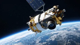
To achieve its objectives, the satellite is equipped with advanced imaging instruments. These include multi-spectral and hyper-spectral cameras, which can see in different wavelengths of light, including visible, near-infrared, and shortwave infrared. This allows the satellite to not only take pictures but also gather data on various parameters like vegetation health, water quality, and mineralogy. The satellite features a high-resolution telescope and can be steered electronically to focus on different areas quickly. This agility, combined with the constant vantage point of its geostationary orbit, provides a powerful and versatile tool for understanding our dynamic planet.