



A Groundbreaking Partnership in the Sky
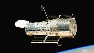
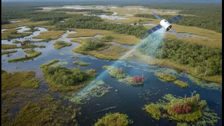
NISAR, which stands for NASA-ISRO Synthetic Aperture Radar, is a landmark collaboration between the Indian Space Research Organisation (ISRO) and the U.S. National Aeronautics and Space Administration (NASA). Launched in 2025, it's one of the most advanced
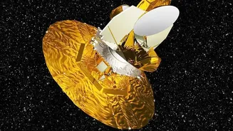
Earth-observing satellites ever built, carrying two distinct radar systems to map our planet in unprecedented detail. ISRO provided the spacecraft itself, the launch vehicle, and an S-band radar, while NASA contributed the L-band radar and a massive 12-metre reflector antenna—the largest of its kind ever sent to space. This powerful duo of instruments allows NISAR to scan nearly the entire globe, day and night, every 12 days, making it an invaluable tool for science. The data from this mission is governed by a free and open policy, ensuring scientists worldwide can use it to make new discoveries.
Why Antarctica is the Perfect Subject
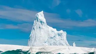
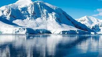
Antarctica is ground zero for understanding climate change. Its massive ice sheets hold enough water to raise global sea levels dramatically, but monitoring them is incredibly difficult. This is where NISAR's Antarctic mission becomes so critical. The continent is often shrouded in clouds and experiences months of polar darkness, rendering traditional optical satellites blind. Radar, however, doesn't have this problem. NISAR's radar signals can penetrate cloud cover and operate in complete darkness, providing a constant, reliable stream of data. Scientists are particularly focused on tracking the flow of glaciers, the stability of ice shelves, and how the ice is responding to a warming climate. By measuring tiny movements in the ice surface—down to a centimetre—NISAR provides crucial data for models that predict future sea-level rise.
Seeing the Unseen with Radar
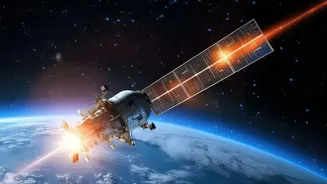
So, what makes radar so special? Unlike a camera that passively captures reflected light, a Synthetic Aperture Radar (SAR) like NISAR is an active sensor. It sends out its own pulses of microwave energy and then measures the signals that bounce back. This allows it to see through clouds, dust, and darkness. Moreover, the different radar frequencies used by NISAR—L-band and S-band—interact with surfaces in unique ways. The longer L-band waves can penetrate deeper, revealing information about soil moisture or the structure of ice beneath a surface layer. The shorter S-band waves are sensitive to things like vegetation and coastal processes. Recent images from Antarctica have showcased this power, revealing crevasses and ice structures hidden beneath the snow, offering scientists a look at processes previously invisible from space.
From Data Points to Global Impact
The data flowing from NISAR is more than just pretty pictures; it's a treasure trove for understanding our planet's complex systems. For Antarctica, this means creating detailed maps of ice velocity, tracking the grounding lines of glaciers where ice meets the ocean, and monitoring for signs of instability. One striking image, nicknamed "the hummingbird" by scientists, showed how a mountain poking through the ice fractures the surrounding glacier, a process now visible in stunning detail. This level of observation helps scientists refine their understanding of ice dynamics, which directly impacts the accuracy of global climate models. The mission's ability to provide a consistent, 12-day repeat view allows for the creation of time-lapse sequences that show how landscapes change, offering vital clues for everything from disaster response to environmental management.
A Watchful Eye Beyond the Poles
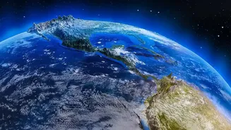
While the Antarctica mission is a key focus, NISAR's capabilities have global applications that are highly relevant for India and the rest of the world. The satellite's data will be used to monitor the glaciers of the Himalayas, track changes in forests and agricultural lands, measure soil moisture for better crop management, and map land subsidence in urban areas. It will also provide critical information for managing natural hazards like earthquakes, landslides, and volcanic activity by detecting subtle ground deformations that can precede these events. In essence, NISAR provides a comprehensive health check-up for our planet, from the icy poles to the tropical forests, demonstrating the indispensable role of radar satellites in modern Earth science.