

Beyond Yesterday's Forecast
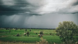
For decades, weather forecasting was a broad-stroke science. Predictions covered large regions, offering general guidance but often missing the kind of highly localised, intense rainfall that causes urban flash floods. Cities are complex environments
where weather behaves differently; a storm can inundate one neighbourhood while leaving another completely dry. Traditional forecasting methods struggled to capture this micro-level variability. The revolution lies in moving from 'Will it rain in the state today?' to 'Will this specific city quadrant face a deluge in the next three hours?'. This shift is powered by sophisticated new instruments orbiting thousands of kilometres above Earth, offering an unprecedented view of our atmosphere.
The Science of Seeing Rain from Space
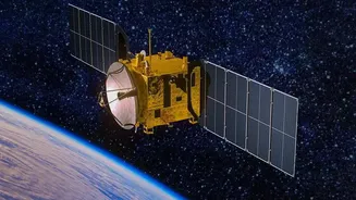
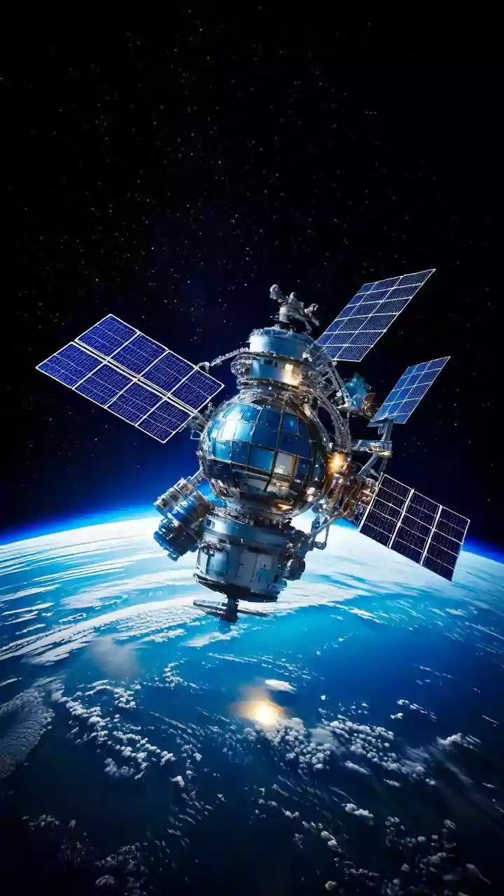
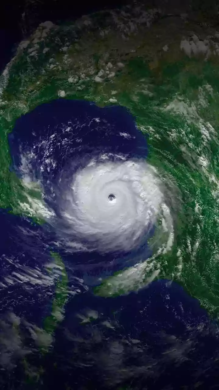
Modern weather satellites are far more than just cameras in the sky. They are equipped with a suite of advanced sensors, primarily microwave and infrared sounders, that observe the atmosphere in ways the human eye cannot. Unlike visible light sensors, which are limited by clouds and darkness, microwave sensors can peer through cloud cover to measure water vapour, temperature, and precipitation within a storm system. Geostationary satellites, like India's own INSAT series, orbit at the same speed as the Earth's rotation, allowing them to constantly monitor the same geographical area. This provides a continuous stream of data, essential for tracking fast-developing systems like thunderstorms. Meanwhile, polar-orbiting satellites fly much closer to Earth, scanning the entire globe in high detail. The latest generation of satellites, such as the Global Precipitation Measurement (GPM) mission, uses dual-frequency radar that can differentiate between light rain, heavy rain, and even snow, providing a 3D view of a storm's structure. This combination of constant observation and detailed vertical profiling is what enables 'high-precision' forecasts.
From Satellite Data to City Action
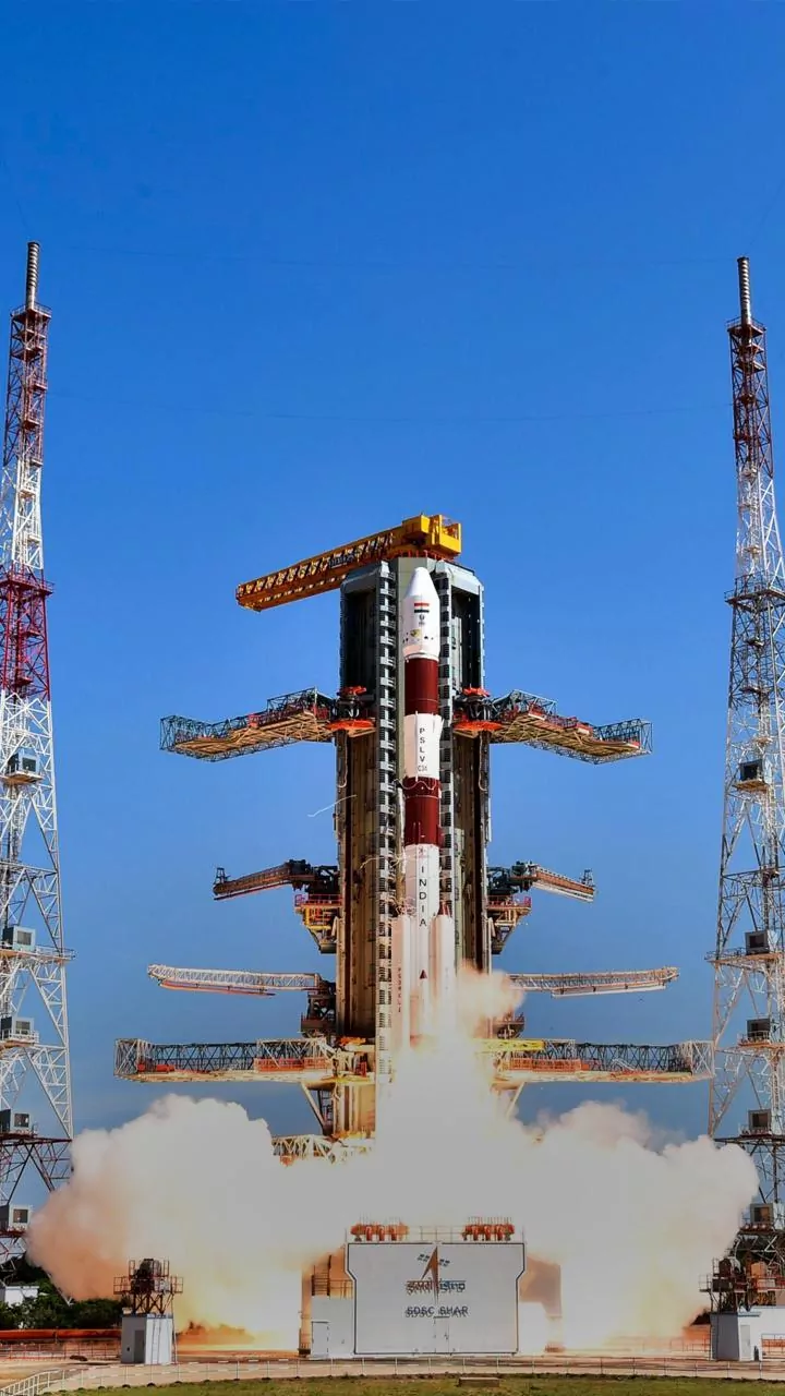
Receiving raw data from a satellite is only the first step. This information, consisting of billions of data points on temperature and moisture, is fed into powerful numerical weather prediction (NWP) models on the ground. These supercomputers run complex algorithms to simulate how the atmosphere will behave, generating highly localised forecasts. In India, data from satellites like INSAT-3DS, launched in early 2024, is crucial for the India Meteorological Department (IMD) to enhance its forecasting accuracy. For a city, this translates into actionable intelligence. An alert about intense rainfall expected in a specific low-lying area in two hours allows disaster management teams to pre-position resources. It enables traffic police to plan diversions away from flood-prone underpasses and empowers municipal authorities to manage reservoir gates and stormwater drainage systems more effectively. This proactive capability is a cornerstone of modern climate readiness.
Building Resilient Indian Cities
The application of this technology is already taking shape in India. Beyond just rainfall, satellites are being used to monitor urban heat islands and air quality, giving planners a comprehensive toolkit for climate adaptation. For instance, by combining high-resolution satellite rainfall data with digital elevation models of a city, authorities can create detailed flood inundation maps before a single drop of rain falls. This allows for better long-term urban planning—identifying which areas need upgraded drainage infrastructure or where new construction should be avoided. Startups are also entering the fray, developing AI models that process satellite data to provide hyper-local environmental insights for civic bodies. This fusion of public space infrastructure and private innovation is helping cities move from a reactive stance of post-disaster recovery to a proactive strategy of risk mitigation.