






The Unblinking Eyes in the Sky
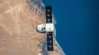
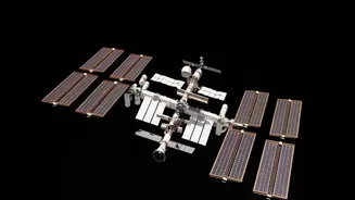
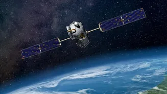
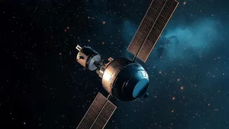
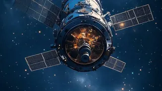
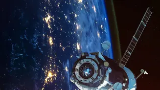
The process begins with weather satellites, our planet's dedicated sentinels. These marvels of engineering, operated by space agencies like the Indian Space Research Organisation (ISRO), fall into two main categories. Geostationary satellites, such as
those in India's INSAT series, orbit at an altitude of about 36,000 kilometres. They match the Earth's rotation, allowing them to hover over a fixed spot and provide continuous monitoring. This constant watch is crucial for tracking rapidly developing weather systems like cyclones and thunderstorms. The second type, polar-orbiting satellites, fly much closer to Earth, travelling from pole to pole. As the planet rotates beneath them, they scan the entire globe, providing high-resolution data for long-range forecasting and climate studies. Together, these two types of satellites provide a complete, real-time picture of our planet's atmosphere.
Seeing More Than Just Clouds
Weather satellites do far more than just take pictures. They are equipped with advanced instruments called radiometers and sounders that capture information across different wavelengths of light, including visible and infrared. This allows them to measure things the human eye can't see. For example, infrared sensors detect heat, enabling meteorologists to measure the temperature of cloud tops, land, and sea surfaces. Colder cloud tops often indicate a more intense storm. Other sensors measure the amount of water vapour in the air, track wind speeds over the ocean, and even detect smoke from wildfires or volcanic ash. This rich, multi-layered data—covering everything from humidity to atmospheric pressure—forms the raw ingredients for a weather forecast.
From Space to Ground Stations
Once a satellite collects this vast amount of data, it needs to be sent back to Earth. The satellite transmits the information via radio signals to a network of ground stations. In India, ISRO's Space Applications Centre (SAC) and National Remote Sensing Centre (NRSC) play key roles in receiving and processing this raw data. The data often has to be corrected for atmospheric distortions before it can be used. This initial processing turns the raw signals into usable datasets and images that represent the current state of the atmosphere. It's a critical step that prepares the information for the next stage of its journey.
The Supercomputer's Crystal Ball
This is where prediction truly begins. The processed satellite data, along with information from ground-based weather stations, weather balloons, and ocean buoys, is fed into powerful supercomputers. India's meteorological efforts are anchored by the Indian Meteorological Department (IMD), which uses these high-performance machines to run complex numerical weather prediction (NWP) models. These models are essentially digital simulations of the Earth's atmosphere. By inputting the current conditions, the supercomputers can simulate how the atmosphere will evolve over the next few hours and days, generating the forecasts we rely on. The introduction of AI and machine learning is making these predictions even more precise, allowing for hyper-local forecasts.
Crucial for India's Climate
For India, this technology is not just a convenience—it's a lifeline. ISRO's INSAT and Oceansat series of satellites are vital for tracking the annual monsoon, a weather system that is the lifeblood of the nation's agriculture. The data helps forecast the monsoon's onset, intensity, and distribution. Furthermore, these satellites are indispensable for monitoring cyclones forming in the Bay of Bengal and the Arabian Sea. By providing early warnings about a cyclone's path and intensity, the IMD and disaster management agencies can evacuate vulnerable coastal populations, saving countless lives. The data is also used for everything from issuing heatwave alerts to monitoring Himalayan glaciers and managing water resources.
Your Daily Weather, Delivered
The final step in this incredible journey is getting the forecast to you. Once the IMD finalises its predictions, the information is disseminated through a wide range of channels. It is sent to news broadcasters for the evening weather report, updated on government websites, and pushed to the countless weather apps on our smartphones. So, the next time you glance at your phone to see if you need an umbrella, remember the complex and remarkable system at play: from a satellite silently observing from space, to a supercomputer crunching numbers, all working together to bring that simple, vital piece of information right into the palm of your hand.