




Our New Eyes in the Sky
For decades, predicting floods relied on ground-based river gauges and weather models. These tools are vital but have limitations; gauges only measure water levels at a single point and can be washed away in a severe flood. Today, a new generation of
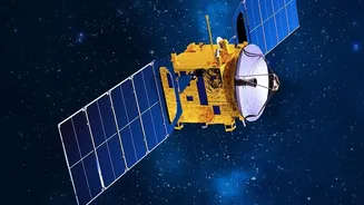
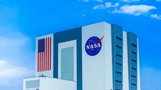
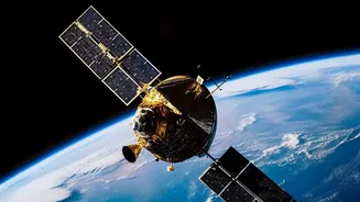
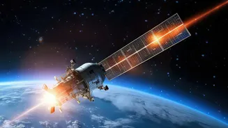
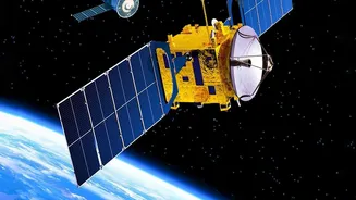
earth-observation satellites is providing a much bigger picture. Missions like the NASA-ISRO Synthetic Aperture Radar, or NISAR, and the Surface Water and Ocean Topography (SWOT) satellite are leading this charge. NISAR, a joint project between the US and Indian space agencies, uses advanced radar to see through clouds and darkness, making it perfect for monitoring monsoon-affected regions. It orbits the Earth every 12 days, building a near-constant stream of data on how landscapes are changing. SWOT, a partnership between NASA and the French space agency, is specifically designed to conduct the first-ever global survey of Earth's surface water, measuring the height, width, and slope of rivers and lakes with incredible precision.
How It Works: Beyond Rain Gauges
This new technology works by using radar and other sensors to create detailed 3D maps of the Earth's surface. Unlike optical satellites that are blinded by cloud cover, Synthetic Aperture Radar (SAR) can penetrate clouds and even dense vegetation to measure water levels. These satellites act like virtual stream gauges, but for entire river basins. They can detect subtle changes in ground saturation, which indicates how much more water the soil can absorb before runoff begins. They also measure the exact height of rivers, allowing scientists to see not just where the water is, but how it's moving and swelling. This provides a comprehensive view of how a flood wave pulses across a landscape, information that was previously impossible to gather on a large scale. The data from missions like NISAR and SWOT is then fed into powerful computer models, often enhanced with artificial intelligence, to produce more accurate and timely flood warnings.
A Lifeline for Flood-Prone India
For a country like India, where over 12% of the land is prone to floods, this technology is a game-changer. The Brahmaputra River in Assam, for example, is notoriously powerful and unpredictable, constantly carving new channels. Just this month, in July 2026, NISAR captured stunningly detailed images of the Brahmaputra during Assam's severe flood season, revealing its complex network of channels and helping disaster managers map the extent of the inundation through the heavy monsoon cloud cover. The Indian Space Research Organisation (ISRO) has already begun making this S-Band radar data publicly available through its Bhoonidhi portal, allowing researchers and agencies to use it for everything from disaster monitoring to resource management. By combining this satellite data with ground observations, authorities can issue warnings earlier, giving communities more time to evacuate and protect property in vulnerable areas like the Ganges and Brahmaputra basins.
The Future of Flood Prediction
While this technology marks a massive leap forward, it is not a silver bullet. One of the main challenges is what experts call the "iron triangle" of earth observation: the trade-off between how often a satellite revisits a spot (temporal resolution), how detailed its images are (spatial resolution), and cost. No single satellite can be everywhere at once, meaning some flood peaks might still be missed. The key to overcoming this lies in combining data from multiple satellites, creating a 'constellation' approach that provides a more continuous stream of information. The future of flood forecasting involves integrating data from different missions like NISAR, SWOT, and Europe's Sentinel satellites, and feeding it all into ever-smarter AI-driven models. This fusion of space technology will not only improve warnings but also help in long-term planning, from designing more resilient infrastructure to better managing our precious water resources in an era of climate change.