






Beyond the Launchpad
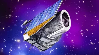
The Indian Space Research Organisation (ISRO) has positioned India as a global space power. While rocket launches and planetary exploration missions capture public imagination, the backbone of the program's value lies in its constellation of Earth observation,
communication, and navigation satellites. These silent sentinels in orbit are powerful tools for national development, generating a constant stream of data that is translated into actionable insights on the ground. This information underpins critical services, drives economic activity, and saves lives, making space technology one of the most significant, albeit often invisible, contributors to modern India.
A Lifeline for Agriculture
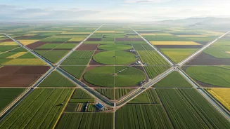
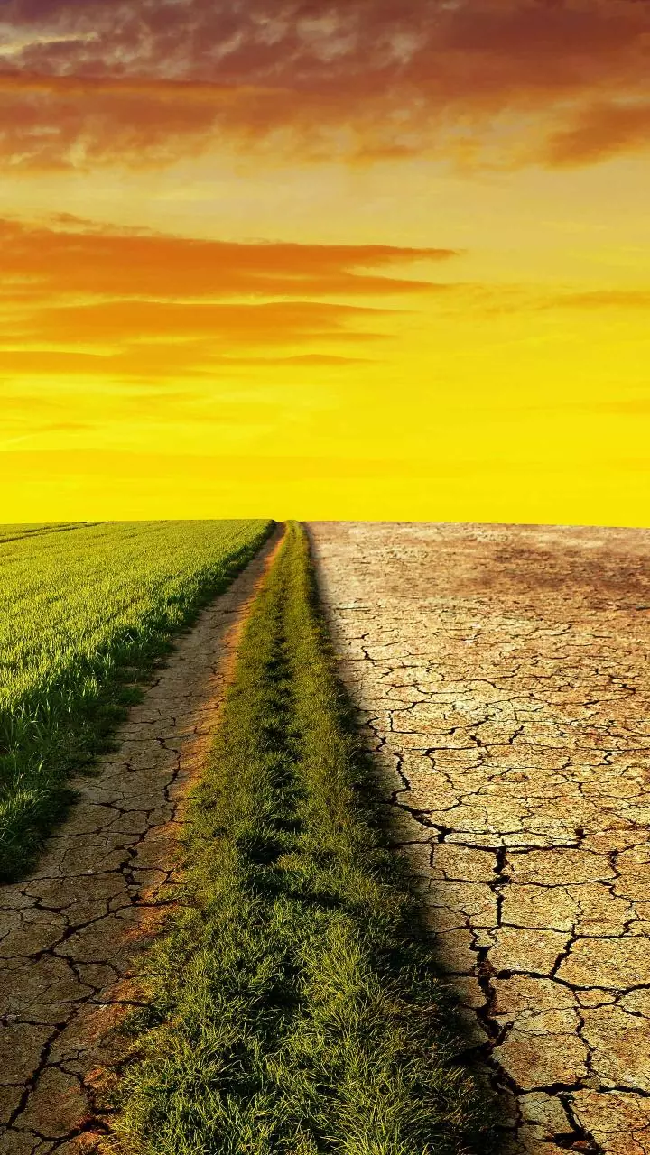
For India's vast agricultural sector, satellites are a game-changer. Through programs like Forecasting Agricultural output using Space, Agrometeorology and Land-based observations (FASAL), ISRO uses satellite data to provide crucial pre-harvest crop forecasts. This helps policymakers manage food security and price stability. Furthermore, remote sensing satellites monitor crop health, assess soil moisture, and identify drought conditions through initiatives like the National Agricultural Drought Assessment and Monitoring System (NADAMS). This data empowers farmers with advisories on irrigation and pest control, leading to better yields and more sustainable farming practices, essentially bringing precision agriculture to the masses.
A Shield From the Skies
India's long coastline and varied geography make it vulnerable to natural disasters like cyclones, floods, and landslides. Space technology serves as a crucial first line of defence. Satellites like the INSAT series provide continuous weather monitoring, enabling the India Meteorological Department to issue early and accurate warnings for cyclones, tracking their path and intensity. During floods, satellite imagery is used to create inundation maps in near real-time, helping disaster management agencies to coordinate rescue and relief efforts effectively. The National Database for Emergency Management (NDEM) uses this geospatial data to create hazard zonation maps, moving from reactive response to proactive planning.
Finding Our Own Way with NavIC
India is one of a handful of nations with its own independent navigation system, Navigation with Indian Constellation (NavIC). While many people are familiar with the US-owned GPS, NavIC is specifically designed to provide highly accurate positioning services for India and the surrounding region, extending up to 1,500 kilometres from its borders. This provides strategic autonomy, crucial for defence and national security. For civilians, its applications are vast, spanning transportation, logistics, and fleet management. It plays a role in disaster management by locating affected areas and guiding rescue teams. As NavIC chips become standard in smartphones and vehicles, its precise timing and location services are also enhancing telecommunications and power grid synchronisation.
Connecting the Unconnected
Satellites are instrumental in bridging India's digital divide. Through satellite communication (SATCOM), services like tele-education and telemedicine are reaching the country's most remote corners. ISRO's telemedicine program, started in 2001, connects rural health centres with super-speciality hospitals in cities, allowing for expert medical consultations from a distance. Similarly, tele-education initiatives, pioneered by satellites like EDUSAT, deliver quality educational content to schools in areas where terrestrial connectivity is poor. This satellite-based infrastructure is vital for creating an inclusive, digitally empowered society.
Building Smarter Cities and Managing Resources
As India urbanises at a breakneck pace, satellites provide the data needed for sustainable urban planning. Remote sensing technology helps monitor urban sprawl, map land use changes, and detect illegal construction. This information is vital for the Smart Cities Mission, allowing planners to make evidence-based decisions on infrastructure, transport, and green spaces. Beyond cities, satellites are used to map and manage the nation's natural resources, including forests, water bodies, and mineral deposits, ensuring they are used responsibly for future generations.