

The Tech Turning the Tide on Traffic
Across India, cities are beginning to fight monsoon chaos with a powerful new weapon: the Internet of Things (IoT). Municipal bodies in cities like Mumbai, Bengaluru, Chennai, and Gurgaon are deploying networks of smart sensors to monitor water levels
in real-time. This technology shifts the approach from reactive clean-up to proactive warning. Instead of relying on frantic social media updates or news reports after the fact, these systems aim to provide advance notice directly to citizens and traffic authorities, enabling smarter, safer travel decisions during heavy rainfall.
From Puddle to Pixel: How It Works
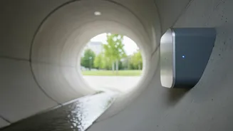
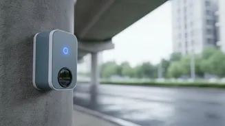
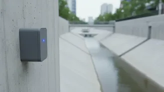
The concept is straightforward but technically sophisticated. Smart sensors, often using ultrasonic or LiDAR (Light Detection and Ranging) technology, are installed at chronically flood-prone spots, underpasses, and along stormwater drains. These devices continuously measure the distance to the water's surface. When water levels rise rapidly during a downpour, the sensors detect the change. Once a predefined danger threshold is crossed, the sensor automatically transmits an alert to a central control room. This data is then instantly processed. In Bengaluru, for example, the system uses color-coded alerts; as water levels in a drain hit 80% of capacity, alerts are sent to stakeholder departments to get ready for action.
Your Phone Becomes a Flood Navigator
This real-time data is most powerful when it reaches the public. Cities are using various channels to disseminate these warnings. In Bengaluru, the 'Meghasandesha' app provides real-time information on rainfall and potential flooding, allowing users to check if their routes are clear. Mumbai’s more comprehensive Integrated Flood Warning System, known as 'iFLOWS', models data to provide flood estimates up to three days in advance and more immediate updates during a storm. These alerts can be pushed to dedicated mobile apps, sent as SMS messages, or displayed on public information boards and integrated with traffic management systems to automatically reroute vehicles away from waterlogged zones.
Cities Leading the Charge
Several Indian metros have become test beds for this technology. Mumbai's iFLOWS system, a collaboration between the Ministry of Earth Sciences and the BMC, is one of the most advanced, incorporating data on tides, land use, and drainage networks to improve prediction accuracy. In Gurgaon, the municipal corporation recently partnered with an IIT Gandhinagar-incubated startup to install sensors in critical sewer lines to get ahead of overflows before they cause street-level flooding. Similarly, cities like Pune and Kolkata are also implementing sensor-based systems to monitor water levels and rainfall intensity, creating a holistic view of the city's drainage health. Recently, a collaboration between Aurassure and IIT Bombay aims to use AI to provide up to 48 hours of advance flood warnings.
Beyond Avoiding Traffic Jams
The benefits of real-time sensor alerts extend far beyond personal convenience. For municipal corporations, it enables a more efficient and targeted deployment of resources. Emergency response teams and drainage maintenance crews can be dispatched to precise locations before a situation becomes critical, rather than after. This proactive approach not only saves time and money but also enhances public safety by preventing vehicles from getting trapped and reducing the risk of accidents in flooded underpasses. Ultimately, this data provides a valuable repository for urban planners, helping them identify and address long-term infrastructural weaknesses in the city's drainage network, leading to more resilient urban design in the face of climate change.