





A Sharper View of Our Weather
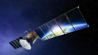
For decades, satellites have been the backbone of weather forecasting, but new missions are taking this capability to another level. The latest generation of satellites provides data at a much higher resolution and frequency. Think of it as upgrading
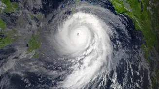
from a standard definition television to 8K. This allows meteorologists to see weather systems develop in near real-time. For instance, new instruments can create detailed 3D profiles of atmospheric temperature and moisture, which are crucial for predicting how and when storms will develop. Recently launched satellites like the Copernicus Sentinel-3C provide continuous observations that help track everything from sea surface temperature to wind speeds, which directly influence weather patterns. For India, this means more accurate and timely monsoon predictions, as well as earlier and more reliable warnings for cyclones and heatwaves, allowing for better preparation and risk reduction.
The Future of Farming is Here
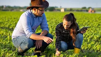
Satellite technology is sparking a revolution in agriculture, often called precision farming. Instead of treating a whole farm as one unit, farmers can now get a detailed view of their land, almost plant by plant. Satellites equipped with advanced sensors can measure crop health, soil moisture, and nutrient levels from orbit. This data allows for the precise application of water and fertilisers only where they are needed, reducing waste, cutting costs, and minimising environmental impact. Farmers can identify stress from pests, diseases, or lack of water long before it's visible to the naked eye. In India, organisations like ISRO are pioneering programs that use satellite data to forecast crop output, assess drought conditions, and provide advisories to millions of farmers, boosting both productivity and sustainability.
Taking the Planet's Pulse
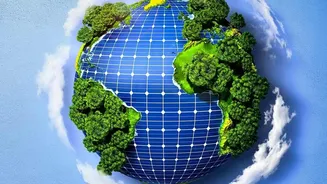
Understanding climate change requires consistent, long-term global data, and satellites are our most powerful tool for this. New missions are designed specifically to monitor the vital signs of our planet with incredible accuracy. The recently launched Sentinel-3C satellite, for example, will track sea-level rise, ocean currents, and the health of polar ice. Other satellites are tasked with monitoring greenhouse gas concentrations in the atmosphere, mapping deforestation in remote jungles, and assessing global vegetation health. This flood of data is essential for climate scientists to refine their models, understand the impacts of a warming world, and provide clear information to policymakers. By observing changes in everything from soil moisture to the planet’s greenness, these eyes in the sky give us an unbiased report on the health of our global ecosystem.
What This Means for India
The advancements in satellite technology hold immense promise for India. With one of the world's largest remote sensing satellite constellations, ISRO is already leveraging this technology for national benefit. Programs like Krishi-DSS provide farmers with real-time, data-driven advice. Improved weather forecasting helps manage water resources more effectively and protects citizens from extreme weather events. As satellite data becomes more accessible and affordable, it opens up opportunities for startups and businesses to create new services. From financial institutions using agricultural data to assess risk for loans, to insurance companies using it for crop damage assessment under schemes like the Pradhan Mantri Fasal Bima Yojana, the applications are expanding rapidly. This technology is not just about better science; it’s about building a more resilient and efficient economy.