






A City Under Water, Again
Bengaluru's struggle with urban flooding is a recurring, structural crisis. Recent research, including findings from institutions like the Institute for Social and Economic Change, consistently identifies numerous flood-prone hotspots across the city.
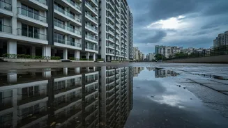
These studies highlight that even moderate rainfall can lead to severe waterlogging in key areas like Silk Board, Mahadevapura, and Koramangala, paralyzing traffic and inundating homes. The cause is not just the volume of rain but a systemic failure of the city’s drainage. Research points to a staggering increase in impervious surfaces—paved areas that cannot absorb water—which has grown to cover over 78% of the city. This, combined with choked and narrowed drains, means rainwater has nowhere to go, turning streets into canals.
The Ghost of the Garden City
It wasn't always this way. Bengaluru was once renowned as the 'City of Lakes', a title earned through ingenious urban planning centuries ago. Its founders, including Kempe Gowda and later the Wodeyar dynasty, created a cascading system of hundreds of man-made lakes, or 'keres'. These lakes were interconnected by a natural network of stormwater drains known as 'rajakaluves' or 'king's canals'. This intricate system was designed to manage monsoon runoff brilliantly. Water would flow from a higher-elevation lake to a lower one, preventing floods, recharging groundwater, and ensuring a year-round water supply. This network was the city’s natural defense against the very deluges that now cripple it.
How Progress Erased Resilience
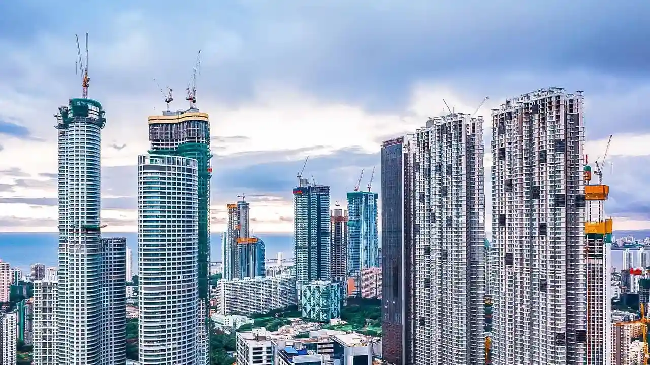
The city's celebrated journey to becoming India's Silicon Valley came at a steep ecological cost. Over the last five decades, Bengaluru has witnessed an explosive 1000%-plus growth in urban development. This rapid, often unplanned, expansion led to the systematic encroachment of its natural drainage system. Lakes were drained and converted into residential layouts, bus terminals, and stadiums. Studies have highlighted a catastrophic decline, with the city losing approximately 79% of its water bodies and 88% of its green cover over a 45-year period. The vital rajakaluves were narrowed, concretized, or simply built over, severing the crucial links between the remaining lakes. With their pathways blocked, rainwater now follows the path of least resistance: onto roads and into homes.
A Cascade of Failures
The historical loss of this natural infrastructure is compounded by modern shortcomings. The city’s stormwater drain system is unable to cope with the increased surface runoff from concrete surfaces. Many drains are choked with garbage and construction debris, further reducing their carrying capacity. The disconnect between different government agencies responsible for lake management has also been cited as a significant issue. While authorities periodically launch demolition drives to clear encroachments, these actions often come after severe flooding events have already caused widespread damage and disruption. This reactive approach fails to address the core issue: the fundamental break between urban planning and the region's natural topography.
Reclaiming a Lost Legacy
Hope, however, is not entirely lost. There is a growing movement to restore Bengaluru's ecological heritage. Citizen groups and experts are advocating for the rejuvenation of lakes and the clearing of rajakaluves. In one inspiring example, a retired army officer used century-old maps to trace and revive ancient rajakaluves, successfully reconnecting several dry lakes and mitigating floods in his locality. These efforts demonstrate that the solution to Bengaluru's waterlogging problem lies in its own history. Experts recommend re-establishing the lost interconnectivity between lakes, protecting buffer zones around drains, and integrating traditional water wisdom into modern urban planning. It's a call to look back in order to move forward sustainably.