


Beyond the Basic Forecast
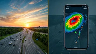
Your phone's default weather app is convenient, but often limited. A simple '40% chance of rain' icon doesn't tell you if that rain is a light drizzle in an hour or a torrential downpour in the next 10 minutes aimed directly at your route. This is especially
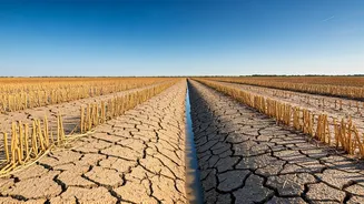
true during the volatile pre-monsoon and monsoon seasons in India, where weather can change dramatically in a short span. The static forecast predicts possibilities; live satellite feeds show you realities. They provide a real-time, bird's-eye view of cloud formations, their density, and their direction of travel. This is the difference between being told a storm *might* happen and watching it approach your city, block by block.
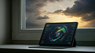
Your Go-To Satellite Toolkit
Getting access to this information is easier than ever. The first and most authoritative source is the India Meteorological Department (IMD). The IMD's website offers detailed, region-specific satellite imagery, often with helpful colour-coding for intensity. For a more user-friendly and global interface, websites and apps like Windy.com and Zoom Earth are exceptional. They overlay live satellite data on interactive maps, allowing you to zoom in on your specific area and animate the cloud movement over the last few hours. Other reliable options include Skymet Weather, which provides excellent India-focused analysis, and The Weather Channel's app, which has a robust radar and satellite layer. The key is to find one or two that you're comfortable navigating quickly.
Reading the Clouds Like a Pro
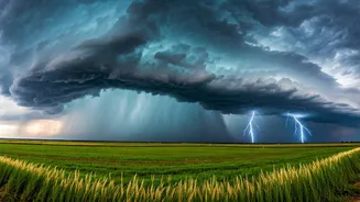
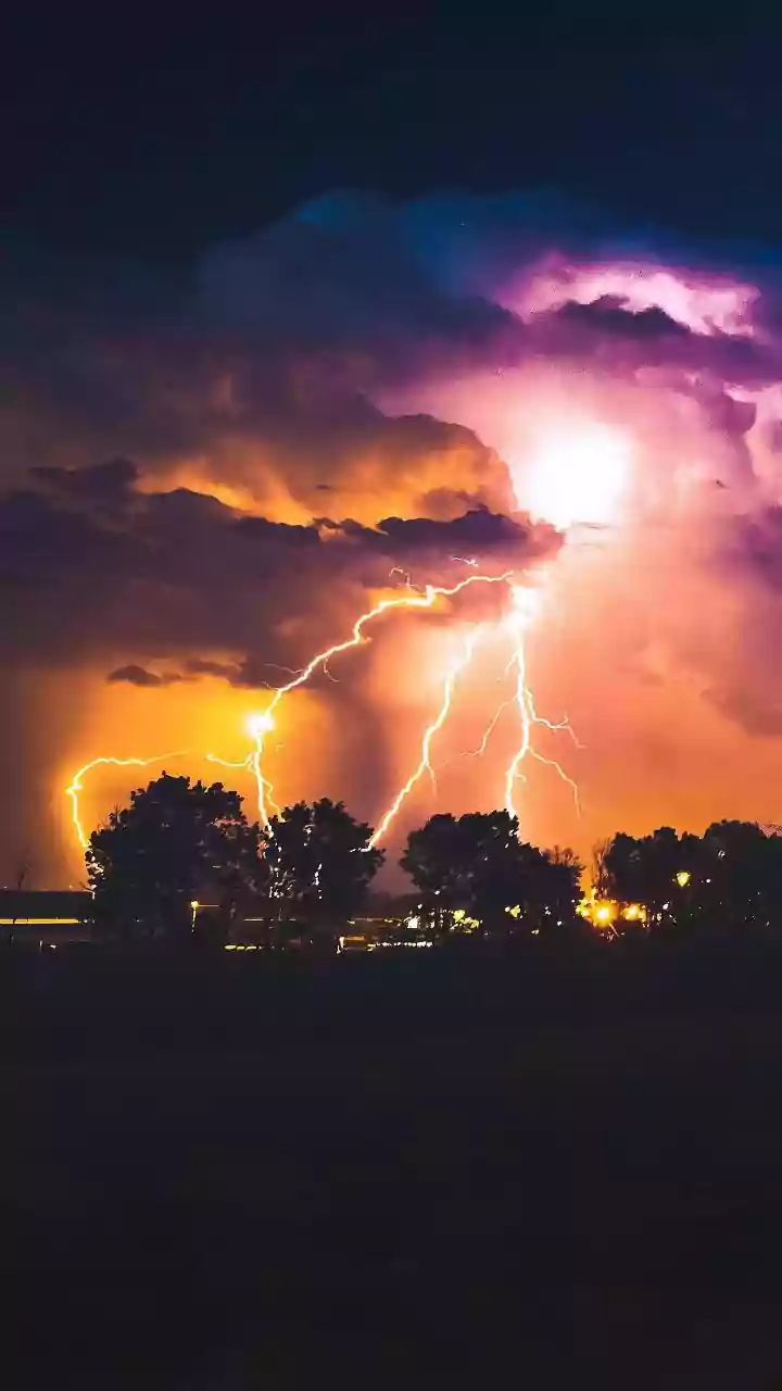
At first, a satellite map can look like a splash of white and grey. But learning to interpret it is simple. Look for these key signs: **Brightness and Colour:** On most infrared satellite maps, the brighter the white, the colder and taller the cloud top is. Towering, bright-white clouds are packed with moisture and energy, often leading to heavy rain and sometimes thunderstorms. Some maps use colour enhancement, where reds and yellows indicate the most intense storm activity. **Texture:** Fluffy, cotton-like patches are often fair-weather cumulus clouds. The threatening ones look more solid, dense, and organised. A large, cohesive mass of bright clouds is far more likely to cause widespread, persistent rain than scattered, wispy ones. **Movement:** This is the most crucial part. Use the animation feature to see the loop over the past hour. Which direction are the clouds moving? Are they intensifying and growing as they move, or are they breaking apart and fading? A fast-moving, organised cluster of clouds heading straight for your commute route is your signal to act.
From Satellite to Street Level
Now, let’s connect the dots. You've checked your satellite feed and see a dense band of rain moving towards your city from the west, estimated to arrive in 30 minutes. You also know that a key flyover on your route is prone to waterlogging. This is actionable intelligence. You can now make an informed decision: leave work immediately to beat the rain, wait for the intense spell to pass, or choose an alternate route that avoids low-lying areas. This proactive approach transforms you from a passive victim of traffic into an active strategist. By combining the satellite feed with a live traffic app like Google Maps, you get the full picture—you see the *cause* (approaching rain) and the *effect* (red lines of traffic) before you’re stuck in the middle of it.
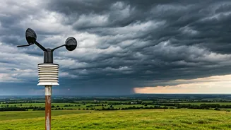
Spotting Wider Monsoon Threats
While avoiding daily traffic is a huge benefit, these feeds also help you prepare for broader pre-monsoon threats. Large, swirling cloud patterns visible from a wider satellite view can indicate the formation of a cyclone or a deep depression over the Bay of Bengal or the Arabian Sea. While official IMD warnings are paramount, being able to see the system for yourself adds a layer of personal awareness. It helps you understand the scale of the impending weather, prompting you to take necessary precautions like securing outdoor items, checking emergency supplies, and staying tuned to official alerts well in advance. It empowers you to understand not just what is happening, but why.