





The Invisible Threat: Urban Heat Islands
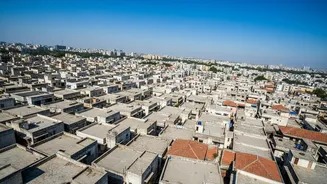
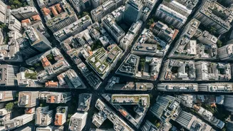
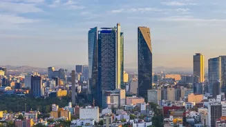
You’ve likely felt it yourself: the city is almost always hotter than the surrounding countryside. This isn't just a feeling; it's a documented phenomenon known as the Urban Heat Island (UHI) effect. Cities, with their dense concentrations of concrete,
asphalt, and dark rooftops, absorb and retain far more of the sun's radiation than natural landscapes. These materials release that stored heat slowly, especially at night, preventing cities from cooling down and leading to consistently higher temperatures. This effect is worsened by the loss of green spaces and waste heat from vehicles and air conditioners. For India, where urban populations are booming and heatwaves are becoming more frequent and intense, the UHI effect is turning from a background issue into a public health emergency.
Making Heat Visible: The Power of Mapping
To fight an invisible enemy, you first have to make it visible. This is where heat mapping comes in. Scientists and urban planners are using a combination of high-resolution satellite imagery, such as data from NASA and other remote sensing platforms, alongside on-the-ground sensors to create detailed temperature maps of Indian cities. These maps don't just show that a city is hot; they reveal which specific neighbourhoods, and even which streets, are the most dangerous hotspots. By layering this temperature data with information on population density, building types, and the location of vulnerable communities, planners can create a comprehensive 'heat vulnerability map'. This provides the crucial evidence needed to move from a reactive emergency response to proactive, targeted planning.
From Data to Actionable Solutions
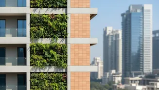
A map is only as good as the action it inspires. The data gathered from heat mapping is the foundation for a range of strategies outlined in Heat Action Plans (HAPs), which are being developed by cities and states across the country. One of the most effective and widely adopted solutions is the promotion of 'cool roofs'. By using reflective paints or materials, a cool roof can reflect sunlight and reduce indoor temperatures by several degrees, a simple yet powerful intervention. Telangana became the first state to launch a comprehensive Cool Roof Policy in 2023, mandating them for many new buildings and setting ambitious targets for the coming years. Other key interventions guided by heat maps include planting more trees to increase green cover, creating public 'cooling centres' in the hottest zones, and restoring urban water bodies.
Cities Leading the Charge
While the challenge is nationwide, several Indian cities have emerged as pioneers. Ahmedabad was one of the first in South Asia to develop a comprehensive HAP, which has been credited with saving lives. Since then, cities like Delhi, Mumbai, Hyderabad, Rajkot, and Surat have been actively implementing their own plans. In Surat, a unique project even involved women from the community as 'community scientists' to help collect local heat data. Institutions like the Indian Institutes of Technology (IITs) and government bodies such as the National Disaster Management Authority (NDMA) are providing the scientific backbone for these efforts, pushing for more robust and localised plans. This collaboration between scientists, government, and local communities is creating a new model for urban climate adaptation.