




The Pacific's Normal State
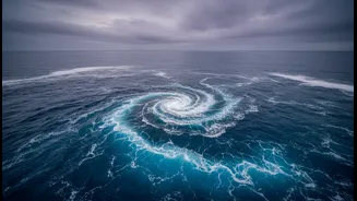
To understand the battle, we first need to know what peace looks like. This is the 'neutral' phase of the El Niño-Southern Oscillation (ENSO) cycle. In a normal year, strong trade winds blow from east to west across the tropical Pacific, pushing warm
surface water towards Asia and Australia. This allows cooler, nutrient-rich water to rise from the depths near South America, a process called upwelling. This balance creates relatively stable and predictable weather patterns, including the atmospheric circulation that helps drive India's vital southwest monsoon. Nearly half of all years are considered to be in this neutral state.
Enter El Niño: The Warm Disruptor
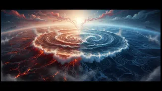
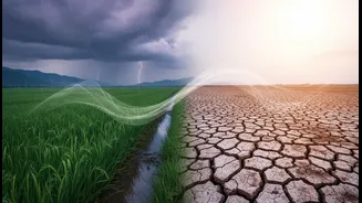
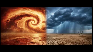
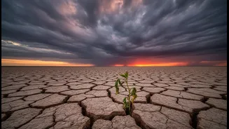
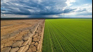
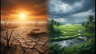
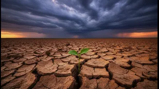
El Niño, which means 'the little boy' or 'Christ child' in Spanish, turns this entire system on its head. It occurs when those reliable east-to-west trade winds weaken, or even reverse. This allows the massive pool of warm water normally piled up in the western Pacific to slosh back eastward, toward the coast of South America. This widespread warming of the central and eastern Pacific Ocean disrupts atmospheric patterns globally. For India, the consequences can be severe. El Niño is strongly linked to a weakening of the monsoon circulation, often resulting in suppressed rainfall, below-average crop yields, and drought conditions across large parts of the subcontinent. Historically, a significant number of India's drought years have coincided with El Niño events.
La Niña: The Cool Counterpart
La Niña, or 'the little girl', is the opposite extreme. During a La Niña event, the trade winds become even stronger than usual, pushing more warm water toward Asia and intensifying the upwelling of cold water in the eastern Pacific. This results in cooler-than-average sea surface temperatures across the central and eastern tropical Pacific. For India, La Niña is often a welcome guest. It tends to strengthen the Walker circulation, an atmospheric pattern crucial for our monsoon, paving the way for normal or even above-normal rainfall. This can lead to bountiful harvests and replenish water reservoirs. However, it's not always good news, as strong La Niña events can also increase the risk of heavy floods and severe cold waves in northern India during winter.
A Cycle of Extremes
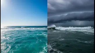
The 'battle' between El Niño and La Niña is this irregular back-and-forth swing, which typically occurs every two to seven years and can last for nine to twelve months or longer. This cycle is a primary driver of year-to-year climate variability around the globe, and its impacts are felt keenly in India. Our agricultural economy is deeply tied to the monsoon's performance, making the ENSO cycle a critical factor in everything from food prices to economic growth. Current forecasts as of July 2026 indicate that a strong El Niño event is developing and expected to intensify, suggesting a higher likelihood of below-normal rainfall for the Indian subcontinent and warmer global temperatures.
The Climate Change Complication
A pressing question for scientists is how human-induced climate change is affecting this natural cycle. While evidence is still being gathered, a growing body of research suggests that a warming planet may be amplifying the impacts of El Niño and La Niña. Some studies indicate that extreme El Niño and La Niña events may become more frequent and intense by the end of the century. A warmer atmosphere holds more moisture, meaning that when rainfall patterns shift due to ENSO, the resulting droughts could be drier and the floods could be wetter. This essentially raises the stakes of an already high-stakes climate drama.