




An Eye in the Sky: What is Satellite Monitoring?
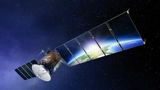
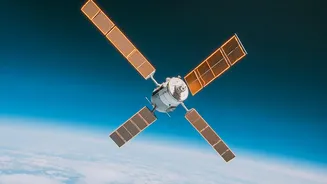
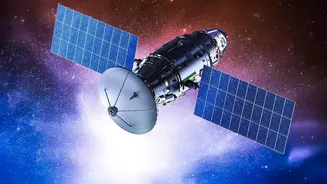
At its core, satellite-based monitoring is about using advanced sensors on satellites orbiting Earth to gather data about our planet. Think of them as incredibly powerful cameras, but instead of just taking pictures, they capture information across different
wavelengths of light, including those invisible to the human eye, like infrared and microwave. In India, the Indian Space Research Organisation (ISRO) operates a fleet of satellites, such as those in the Resourcesat and INSAT series, specifically for this purpose. These satellites continuously scan the land, atmosphere, and oceans, collecting vast amounts of data on everything from vegetation health and soil moisture to cloud patterns and sea surface temperatures. This data, once processed, provides a comprehensive and near real-time view of the country's agricultural and environmental status.
The Farmer's New Best Friend
For generations, Indian farmers relied on experience and observation. Today, satellite technology offers a layer of precision that was once unimaginable, a practice often called precision agriculture. By analysing satellite imagery, farmers can now monitor crop health across vast fields without having to walk every inch. Specialised data, like the Normalised Difference Vegetation Index (NDVI), can reveal crop stress from pests, disease, or lack of water long before it's visible on the ground. This allows for early and targeted interventions, saving crops and reducing the need for widespread pesticide use. Furthermore, satellites can measure soil moisture levels, enabling farmers to optimise irrigation and conserve precious water resources. This data-driven approach leads to higher yields, lower input costs, and more sustainable farming practices.
Forecasting with Unprecedented Accuracy
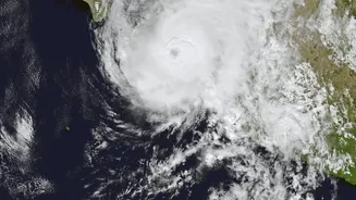
Satellite data has revolutionised weather forecasting, moving it from educated guesswork to a sophisticated science. The India Meteorological Department (IMD) heavily relies on data from the INSAT series of satellites to track the development and movement of weather systems. This is crucial for predicting the annual monsoon, a lifeline for Indian agriculture. Satellites provide invaluable information on cloud formation, temperature, and atmospheric water vapour, which are fed into powerful supercomputer models to generate forecasts. This capability is vital for issuing early warnings for extreme weather events like cyclones, floods, and droughts. By monitoring cloud motion and sea conditions, the IMD can predict a cyclone's path and intensity, allowing authorities to evacuate vulnerable areas and save lives. Long-term satellite data also helps scientists monitor climate change impacts.
From Complex Data to Actionable Advice
Raw satellite data is complex and not easily understood by everyone. The real magic happens when this information is translated into simple, actionable advice for farmers. This is where a growing ecosystem of agri-tech companies and government initiatives comes in. Programmes like ISRO's FASAL (Forecasting Agricultural output using Space, Agro-meteorology and Land-based observations) and the Krishi-Decision Support System (Krishi-DSS) process satellite data to provide crucial information on crop forecasting and farm management. This information is then delivered to farmers at the grassroots level through mobile apps, SMS alerts, and extension services. These platforms can advise a farmer on when to sow, how much fertiliser to apply to a specific part of their field, or if a pest outbreak is likely, empowering them to make proactive, data-driven decisions.
The Road Ahead: Challenges and Opportunities
Despite its immense potential, the adoption of satellite-based monitoring faces hurdles. A key challenge is the last-mile delivery of information, as many smallholder farmers in rural areas may lack access to smartphones or reliable internet connectivity. There is also a need for more training and awareness to help farmers trust and effectively use the data provided. However, the future is bright. Upcoming missions like the joint NASA-ISRO NISAR satellite promise even more detailed and frequent data. The integration of Artificial Intelligence (AI) is also set to make analysis faster and more accurate, with AI-driven models now being used to generate hyper-local forecasts. As technology becomes cheaper and more accessible, these eyes in the sky will play an even more critical role in securing India's food supply and building resilience in a changing climate.